| |
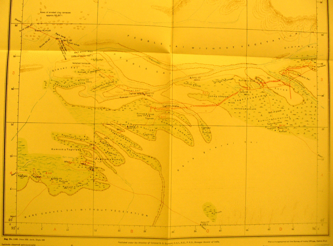
The southern part of map sheet # 74 Toghrak-bulak - This is at the far
eastern edge of the Taklamakan where the Su-lo Ho flows west into its delta.
The caravan route from Charklik to Tun huang enters from the NW and then
crosses the western end of the Han Dynasty wall. Stein literally came across
the wall and towers unexpectedly as he hurried to Tun huang. Here we see his
several tracks as he then surveyed them and later returned for more surveying.
We have more detail on this area in other maps and photos.
Han wall.
|
|