
|
 |
||
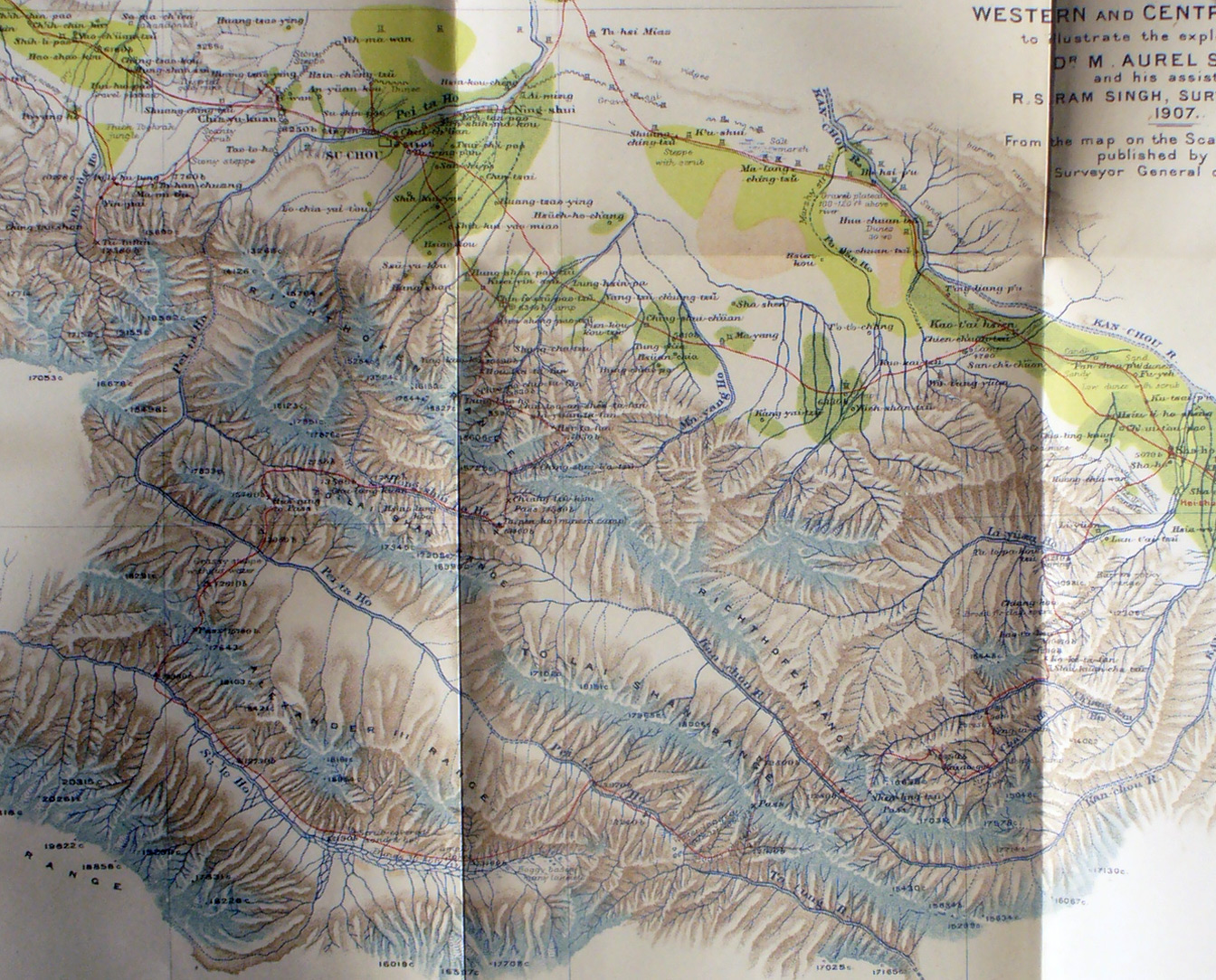
Detail of Stein's map showing both the Kan-chou and Pei-ta Ho from their headwaters between the Richthofen Range and the To-lai Shah Range flowing in opposite directions - with the Su-lo Ho on the other side of the Alexander III range also flowing north-west - Then in the corridor north of the moutains the Kan-chou and Pei-ta Ho come near each other, but on either side of the continental divide. Note Chin-yu-kuan west of Su-chou - it is the main gate in the Ming Great Wall - note several sections of the Great Wall north of Su-chou |
||