
|
 |
||
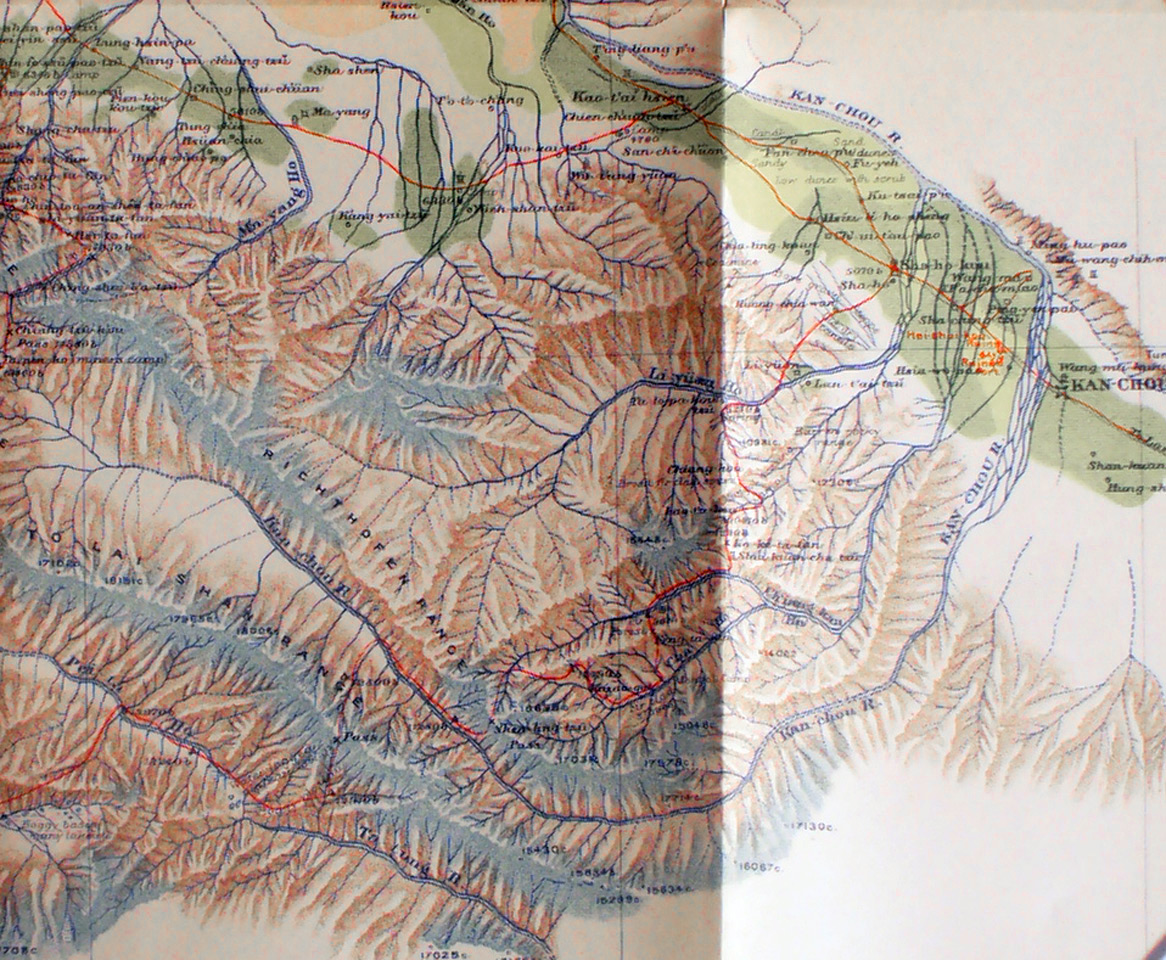
This is the section of Stein's map showing the area west of Kan-chou in the To-lai-shan and Richthofen Ranges. Interesting is that the Pei-lo Ho south of the ranges flows north-west and then north into the interior, while the Kan-chou River between the ranges flows south-east out of the mountains and then turns sharply north at Kan-chou city. The red line shows Stein's route out of the mountains where he could not follow the river valley and had to cross numerous ridges as he headed north-east |
||