
|
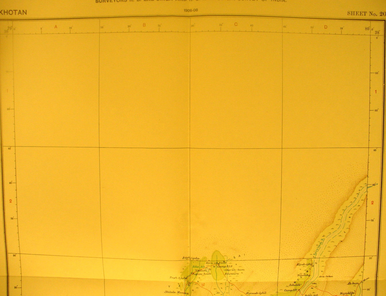
SERINDIA MAPS - STEIN |
||
These are photos made from the original maps in Volume V of Serindia, Aurel Stein's report on his Second Expedition into Chinese Turkestan. |
||
 |
||
The northern half of map sheet # 20 - Khotan - Most of the area is unsurveyed desert. The Kara tash River flows north-east onto map sheets 27 and 27 |