
|
SERINDIA MAPS - STEIN |
||
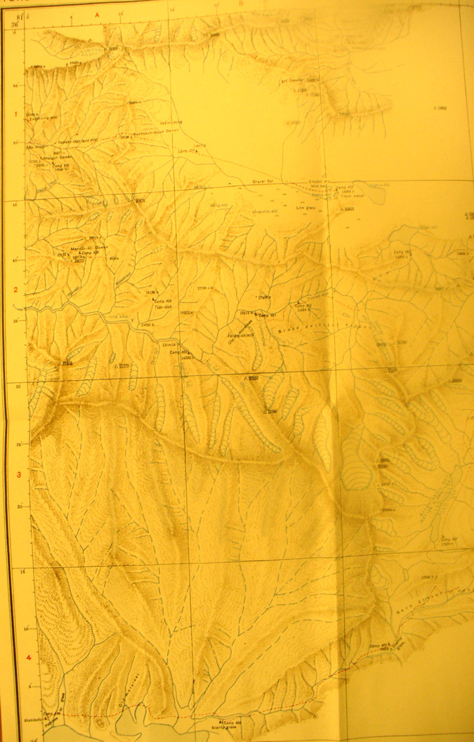
These are photos made from the original maps in Volume V of Serindia, Aurel Stein's report on his Second Expedition into Chinese Turkestan. |
||
 |
||
This is the north western side of map sheet # 33 - Yurung-Kash Source - Again we see the several ranges and basins between them with glaciers and here the source of the Yurung Kash River. Stein's final route west is at the south western corner. |