
|
SERINDIA MAPS - STEIN |
||
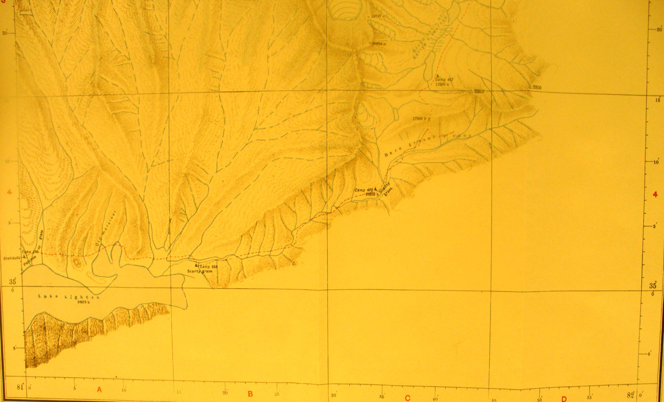
These are photos made from the original maps in Volume V of Serindia, Aurel Stein's report on his Second Expedition into Chinese Turkestan. |
||
 |
||
This is the southern part of map sheet # 33 Yurung Kash Source and shows the furtherest line of Stein's survey from east to west - here is found the source of the Keriya River on the east side. And he found a dead lake in a basin that shows on the west side and into map sheet # 29. |