| |
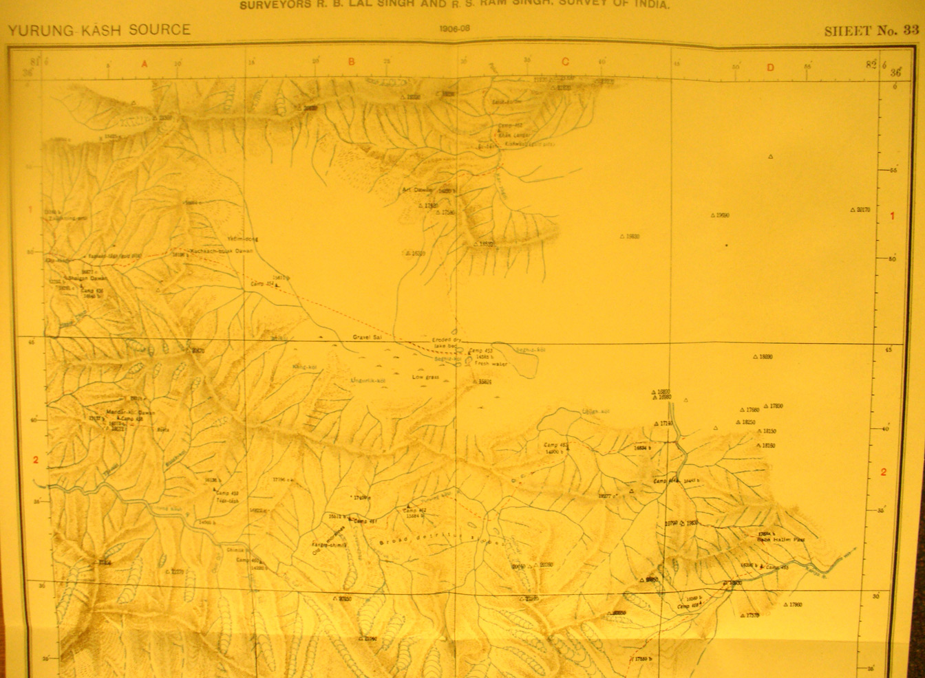
This is the northern section of map sheet # 33 - Yurung Kash Source -
This with the sections below shows one of Stein's most difficult survey routs.
He was not one to let himself be thwarted by waterless deserts or 20,000 foot
mountain ranges. Blocked from proceeding directly south, up the Yurung Kash
River by an impassable gorge, he determined to bypass the obstacle by going
east and then south around the range and then back west through high desolate
interior basins. (See also map sheets #29, 28, 21,22, 17 and 18 for the
complete route. He describes this expedition in the final chapter of
Serindia. Here we see some of the glaciers and mountains over17,000 feet
elevation. By this route he also found the sources of the Keriya River.
|
|