
|
SERINDIA MAPS - STEIN |
||
These are photos made from the original maps in Volume V of Serindia, Aurel Stein's report on his Second Expedition into Chinese Turkestan. |
||
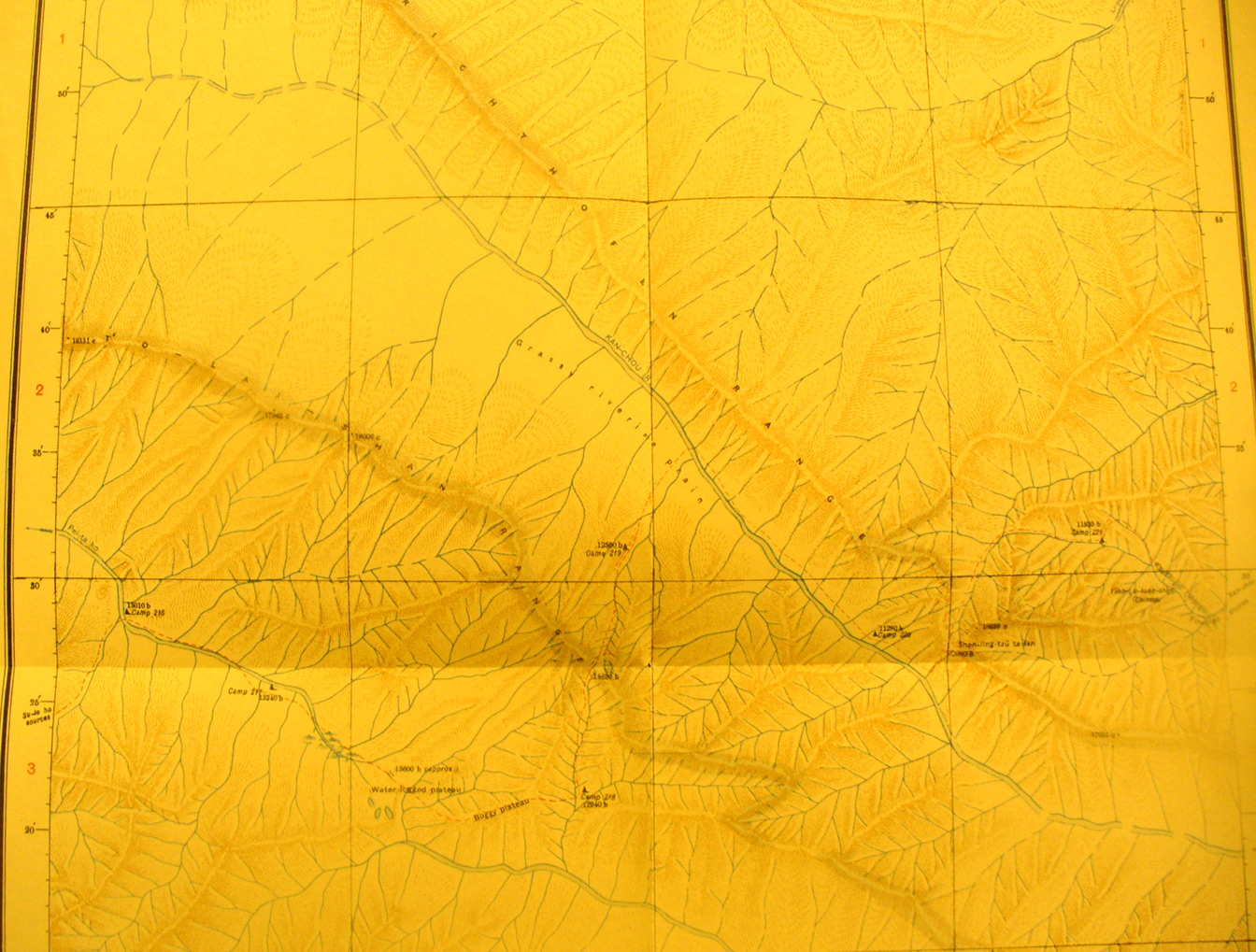 |
||
The center of map sheet # 92 T'o-lan shan - Here are the Richtofen and T'o lan shan Ranges in parallel from NW to SE with the Kan-cho and Pei-ta Ho flowing NW in valleys between and the source of the Ta Tung River flowing SE at the bottom of this view. |