
|
SERINDIA MAPS - STEIN |
||
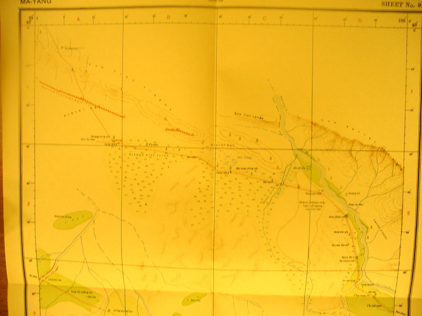
These are photos made from the original maps in Volume V of Serindia, Aurel Stein's report on his Second Expedition into Chinese Turkestan. |
||
 |
||
The northern edge of map sheet # 91 Ma-yang - This map sheet shows the center of the Gansu corridor east of its narrowest point. The Kan-chou river here flows north. It and the Su-chou River eventually join forces to continue north toward Mongolia - called during Stein's time the Et-sin gol. |