
|
SERINDIA MAPS - STEIN |
||
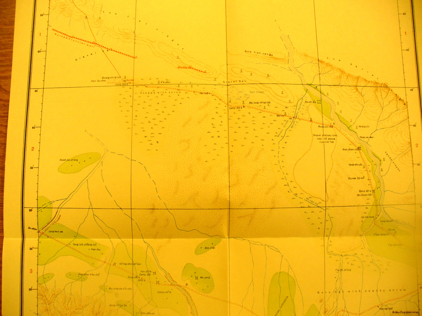
These are photos made from the original maps in Volume V of Serindia, Aurel Stein's report on his Second Expedition into Chinese Turkestan. |
||
 |
||
The middle to northern part of map sheet # 91 MaYang. The Su-chou - Kan-chou road crosses near the southern edge with the several forts shown along it. In the north-east the Kan-chou River is flowing north. Along the northern edge there are several sections of the Ming Great Wall. |