
|
SERINDIA MAPS - STEIN |
||
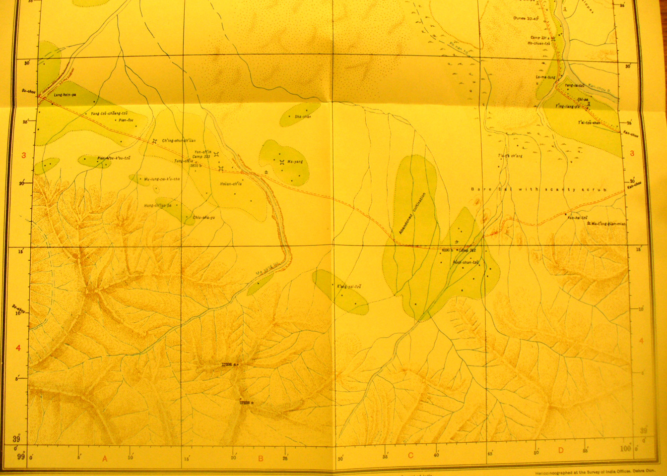
These are photos made from the original maps in Volume V of Serindia, Aurel Stein's report on his Second Expedition into Chinese Turkestan. |
||
 |
||
The southern part of map sheet# 91 Ma Yang - This is the area east of Su-chou with road toward Kan-chou. The Kan-chou River is in the northeast corner. Ma yang is one of the several forts near the road. |