
|
SERINDIA MAPS - STEIN |
||
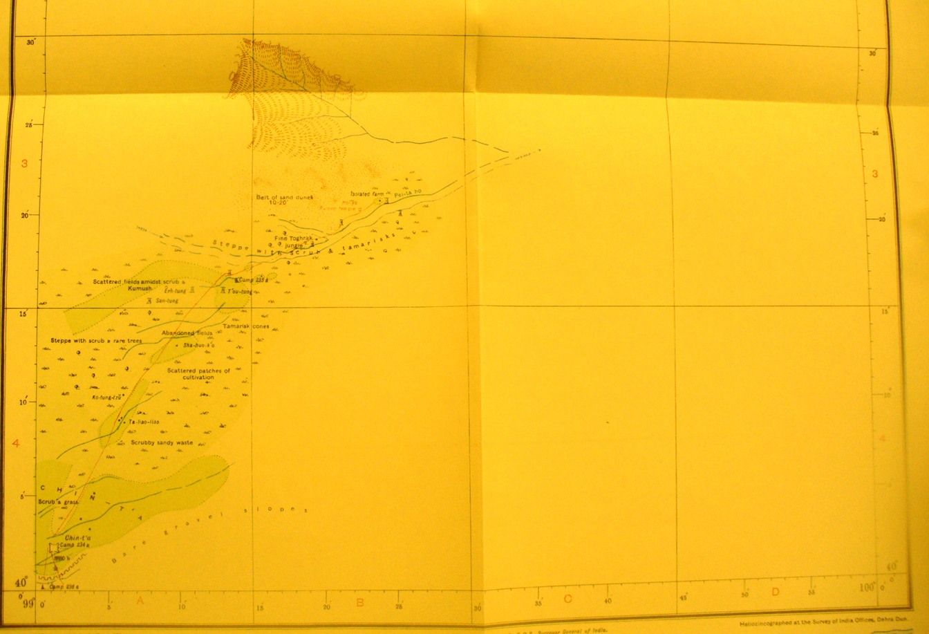
These are photos made from the original maps in Volume V of Serindia, Aurel Stein's report on his Second Expedition into Chinese Turkestan. |
||
 |
||
The southern half of map sheet # 90 Chin-t'a - The fort is at the extreme south west corner here. This map shows the far north-east end of Stein's exploration during his second expedition. He hefre was checking on posssible locations for walls and towers to the Pei-tan Ho. |