
|
SERINDIA MAPS - STEIN |
||
These are photos made from the original maps in Volume V of Serindia, Aurel Stein's report on his Second Expedition into Chinese Turkestan. |
||
 |
||
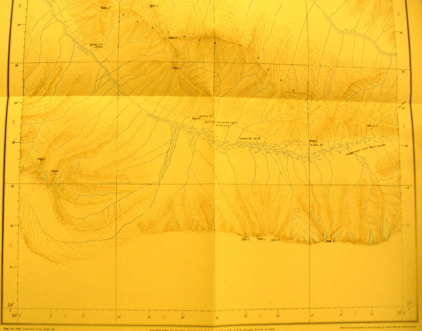
The southern part of map sheet# 89 Su-lo Ho Sources - Here Stein moved into the moutains SW of Su-chou to trace the Su-lo Ho to its head waters. He found them in the valley between mountain ranges to 17,000 feet with the river then flowing NW onto map sheet # 87. |