| |
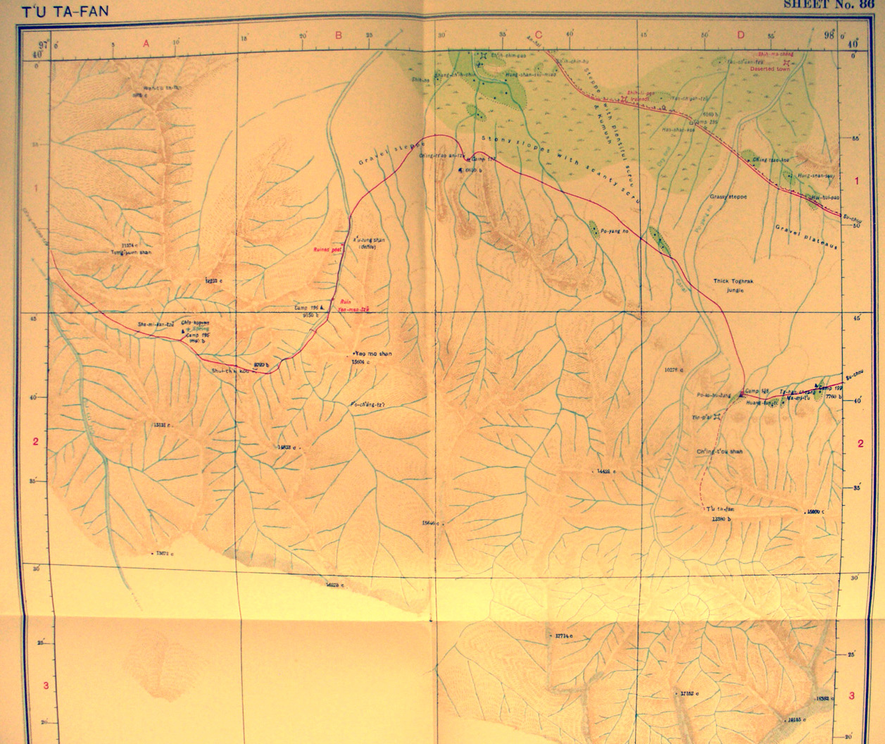
The northern half of map sheet # 86 T'u'ta-fan - This is on the
southern side of the corridor showing how steep the Nan-shan range is. Stein
spent much more time surveying in these mountains during his third expedition.
Here he shows only the northern side of the foothills and streams. The road
from Ch'ian-ma-pao-tzu going eastward to Suchou crosses the pass at over 8,200
feet elevation.There are two ruins and a deserted town near An-hsi. He found a
ruined fort guarding the opening of a pass shown in the SE corner here.
|
|