
|
SERINDIA MAPS - STEIN |
||
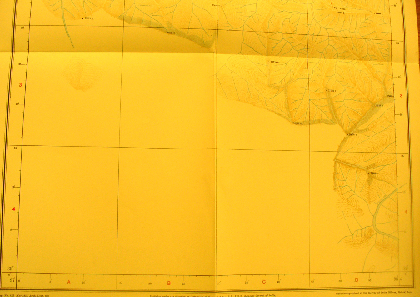
These are photos made from the original maps in Volume V of Serindia, Aurel Stein's report on his Second Expedition into Chinese Turkestan. |
||
 |
||
The southern part of map sheet # 86 T'u'-ta-fan - Only the north east portion of this map sheet was surveyed. This shows the mountains reach 17,000 - 18,000 feet elevation in the Nan-shan. |