
|
SERINDIA MAPS - STEIN |
||
These are photos made from the original maps in Volume V of Serindia, Aurel Stein's report on his Second Expedition into Chinese Turkestan. |
||
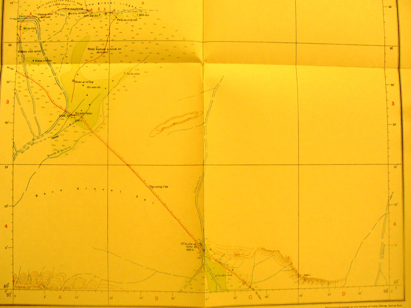 |
||
The southern part of map sheet # 85 Yu men Hsien - Here we see the Su-lo Ho flowing in on the west side from map sheet # 84 and then making the double turn to the west to flow through the narrow corridor. A few more of the Han detached towers are north east of the river. Yu men hssien fort is at 97 degrees 10' E - 40 degrees 21' N in a small oasis formed from a branch of the river. |