
|
SERINDIA MAPS - STEIN |
||
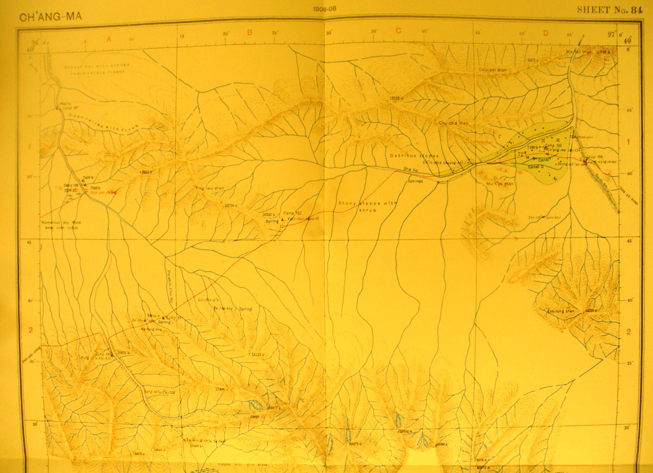
These are photos made from the original maps in Volume V of Serindia, Aurel Stein's report on his Second Expedition into Chinese Turkestan. |
||
 |
||
The northern part of map sheet # 84 Ch'anag-ma - This shows the south side of the corridor as far south and the crest of the Nan- Shah mountain range. The streams flow north toward the Su-lo Ho. Ch'ang ma fort is at 96 degrees 53' E - 39 degrees 52' N. It is at the point of the river where it is still flowing north out of the mountains before turning west, and where it can guard the defile through which the river flows.The survey route into the mountains reveals several other forts |