
|
SERINDIA MAPS - STEIN |
||
These are photos made from the original maps in Volume V of Serindia, Aurel Stein's report on his Second Expedition into Chinese Turkestan. |
||
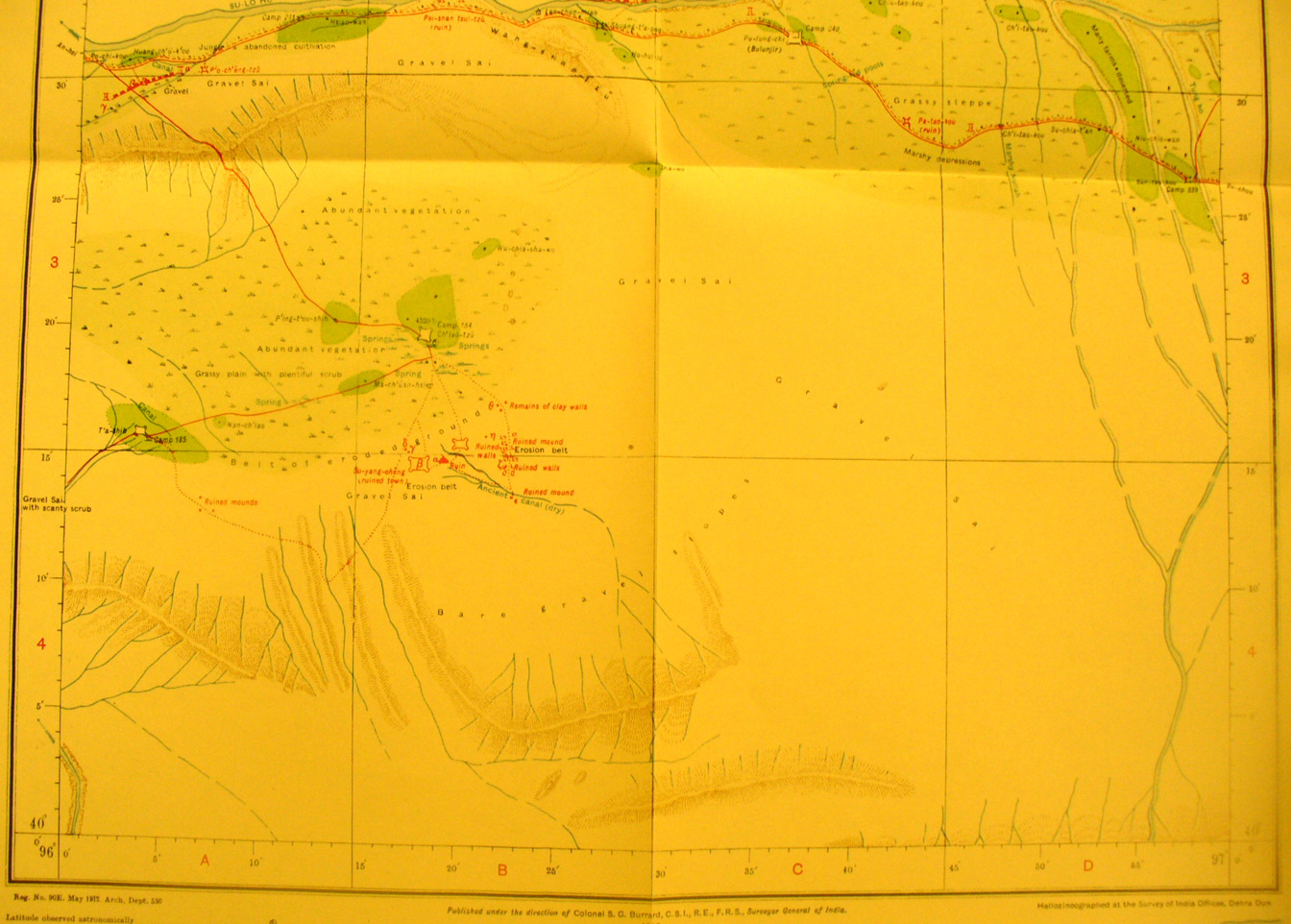 |
||
The southern part of map sheet # 83 Ch'iao-tzu - the northern half of the sheet is blank. It was not surveyed, being north of the northern edge of the Ganzu corridor. Here the Su-lo Ho flows west. There are many ruined forts and walls. The Ch'iao-tzu fort is just north of the oasis in green at 96 degrees 18' E - 40 degrees 20' N. As the dotted red line indicates Stein made an excursion south into the desert to examine these ruins. |