
|
SERINDIA MAPS - STEIN |
||
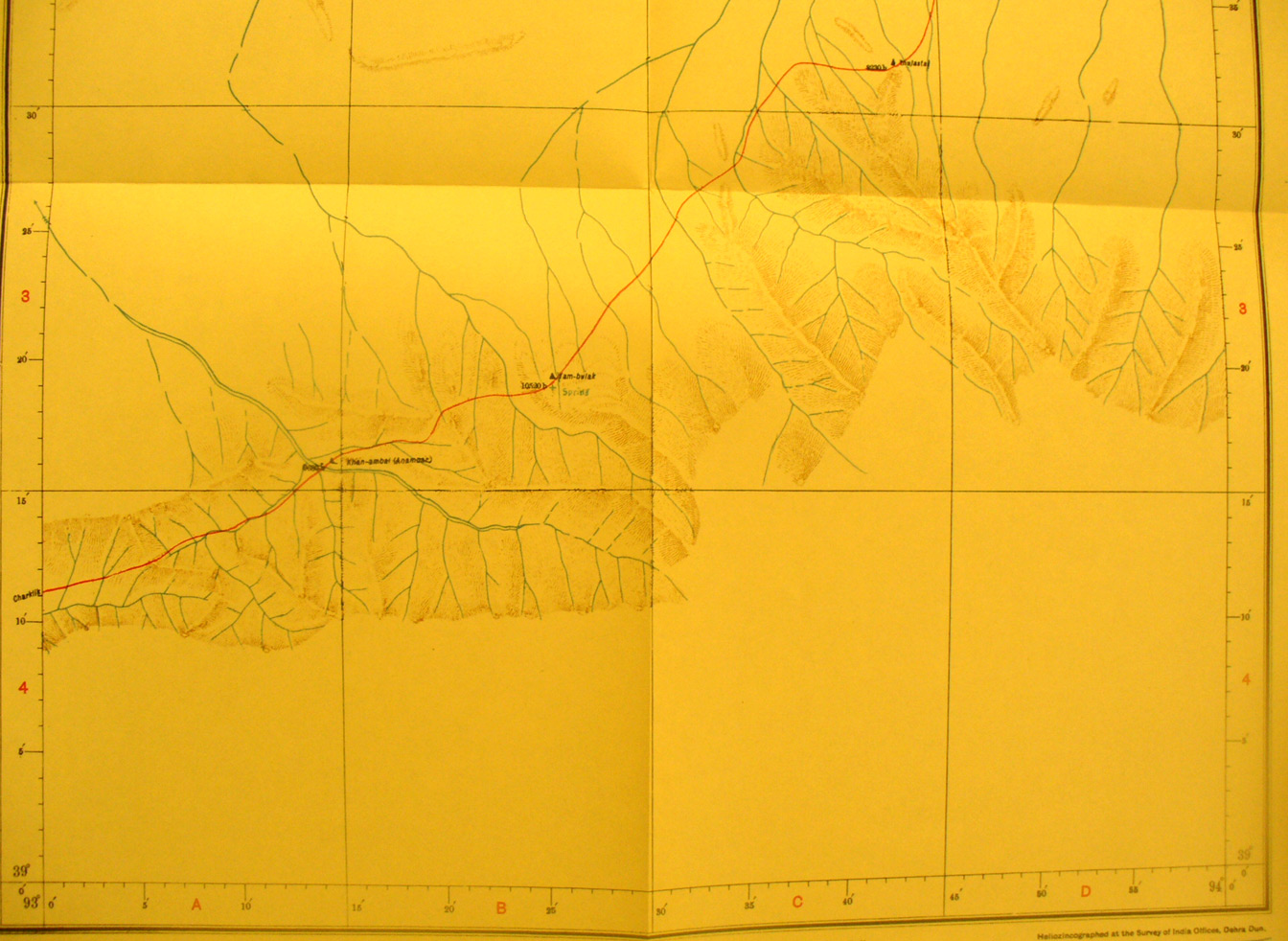
These are photos made from the original maps in Volume V of Serindia, Aurel Stein's report on his Second Expedition into Chinese Turkestan. |
||
 |
||
The southern section of map sheet # 75 Khan-Ambal - Here the southern route between Charklik and Tun huang continues across the foot hills and streams curving northeast. Khan Ambal is a stop by a stream on the west side of the map. |