
|
SERINDIA MAPS - STEIN |
||
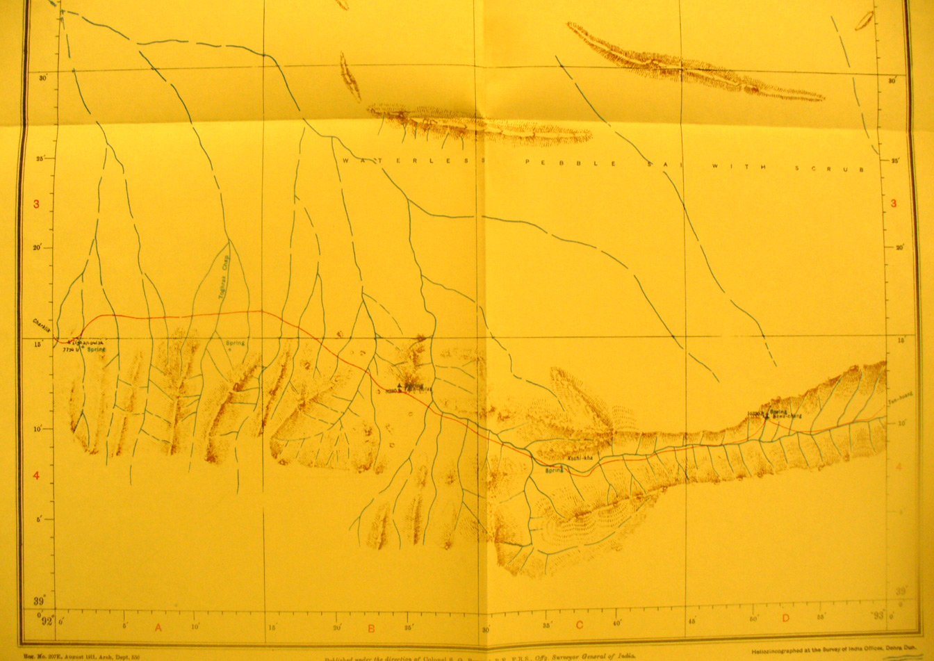
These are photos made from the original maps in Volume V of Serindia, Aurel Stein's report on his Second Expedition into Chinese Turkestan. |
||
 |
||
The southern part of map sheet # 71 Elghan-bulak - at the far south in the hills with streams flowing north - the southern route from Charklik to Tun huang crosses many streams and then follows a river vallely east. There are passes at 8,230 and 10,330 feet elevation. Elghan-bulak is the spring at the far western edge. The northern half of this map sheet is blank. |