
|
SERINDIA MAPS - STEIN |
||
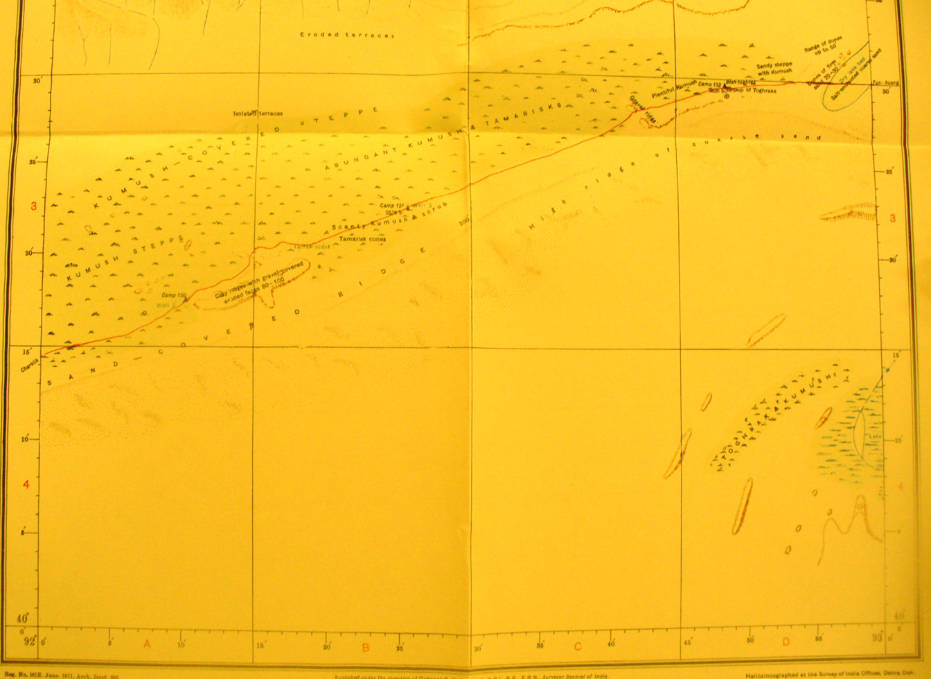
These are photos made from the original maps in Volume V of Serindia, Aurel Stein's report on his Second Expedition into Chinese Turkestan. |
||
 |
||
The southern part of map sheet # 70 Besh-toghrak - Again the northern route from Charklik toward Tun huang crosses along the edge of the salt desert and kumush steppe. Besh-toghrak is an important small oasis toward the eastern border. |