
|
SERINDIA MAPS - STEIN |
||
These are photos made from the original maps in Volume V of Serindia, Aurel Stein's report on his Second Expedition into Chinese Turkestan. |
||
 |
||
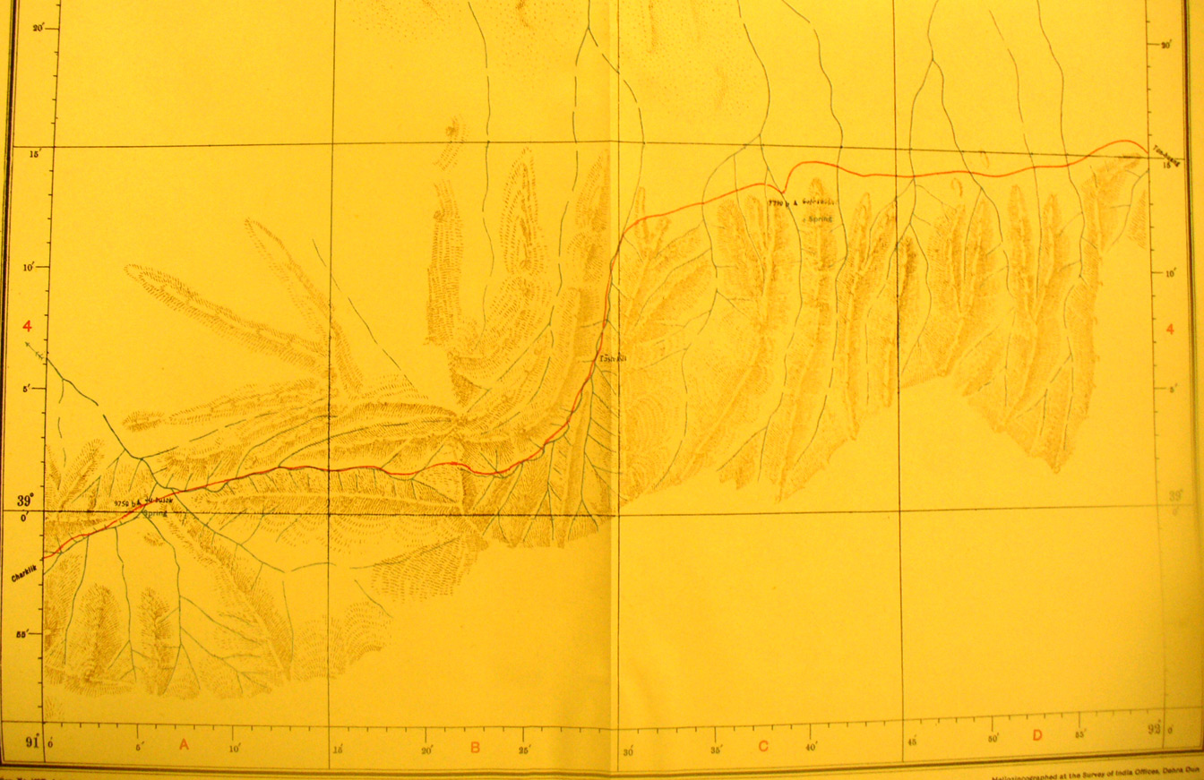
The southern part of map sheet # 68 Panja - This again shows the southern of the two routes between Charklik and Tun Huang through the mountains. Only the terrain immediate to the route was surveyed. |