
|
SERINDIA MAPS - STEIN |
||
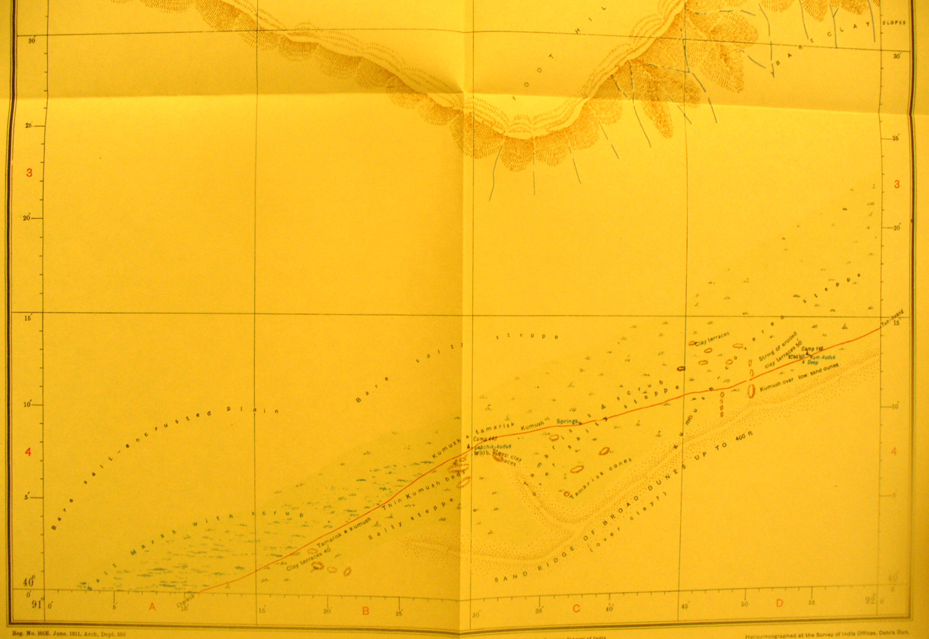
These are photos made from the original maps in Volume V of Serindia, Aurel Stein's report on his Second Expedition into Chinese Turkestan. |
||
 |
||
The southern part of map sheet # 67 Achchik-kundak - which is a well station at the center of the road from Charklik to Tun-Huang. The road lies south of the salt lake plain and well south of the foothills of the Kurak -tagh hills to the north - this area is at the extreme eastern border of the Taklamakan desert. |