
|
SERINDIA MAPS - STEIN |
||
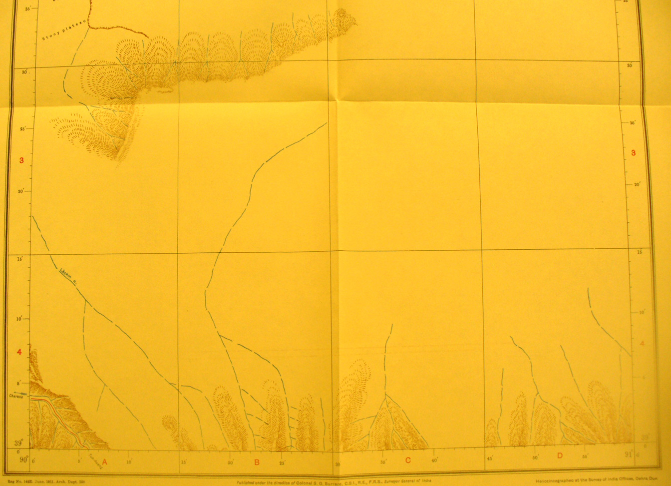
These are photos made from the original maps in Volume V of Serindia, Aurel Stein's report on his Second Expedition into Chinese Turkestan. |
||
 |
||
The southern part of map sheet # 64 Lowaza - At the furtherest south west corner the southern route from Charkhan to Tun Huang appears. A few of the streams flowing north from the mountains in map sheet # 65 are shown. |