| |
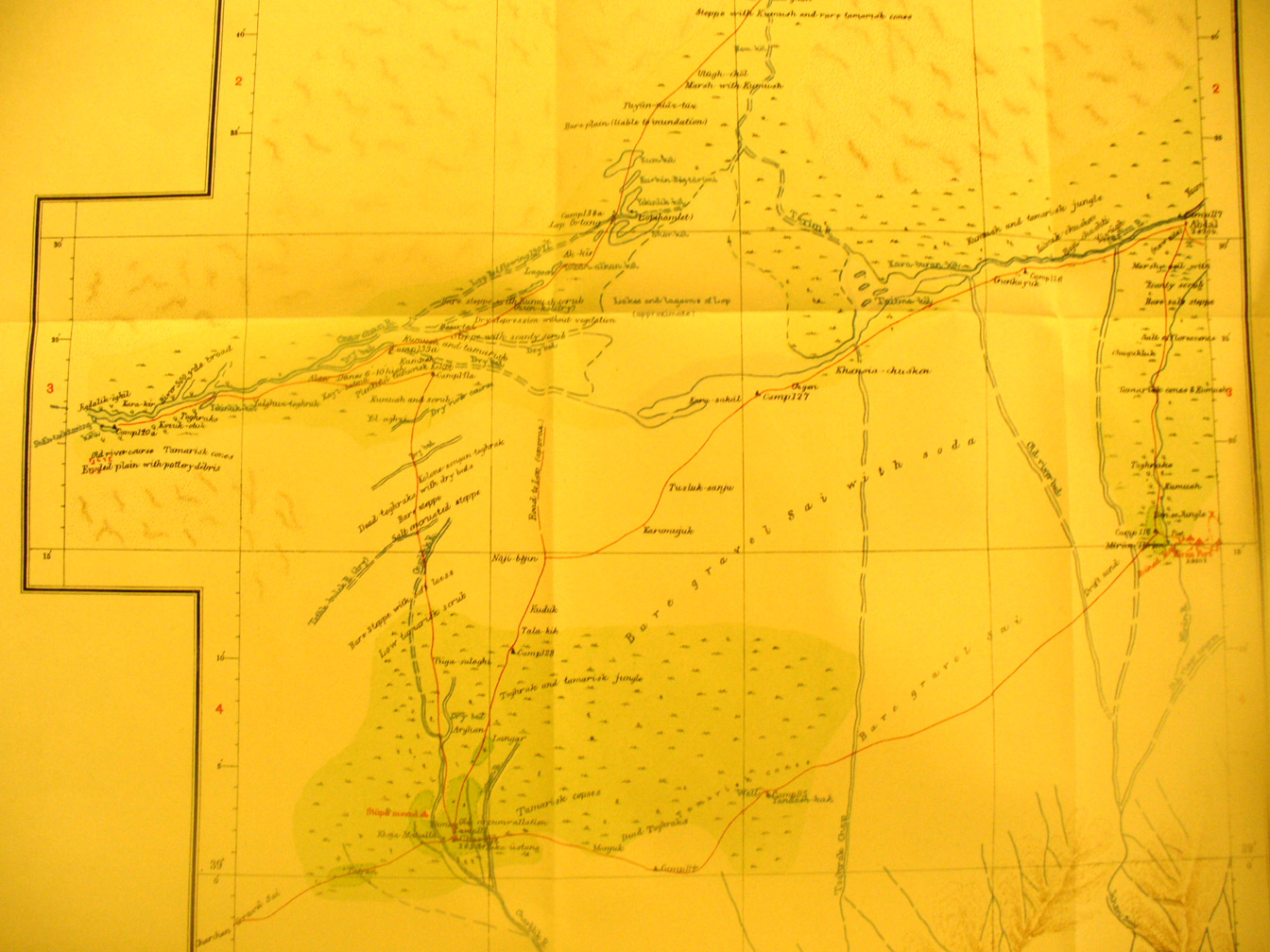
The map sheet # 57 Charklik - This is one of the most important maps in
the series, we are fortunate that no one took it. This shows the entire area
from Charklik oasis (88 degrees 14' E - 39 degrees 1' N) east to Miran (88
degrees 57' E - 39 Degrees 15' N) and Abdal (89 degrees E - 39 Degrees 31' N)
and north to where the Tarim River flows SE from the west to its delta by the
Lop sea. The Charchan river joins it when there is sufficient water flow and
just north of Abdal the Su-lo Ho river is flowing west into its delta. All this
is in the south east corner of the Taklamakan desert basin. The route from
Charklik north to Loulan goes off the map on the northern edge. There is a
ruined stupa at Charklin and the walls of the Tibetan fort at Miran. Stein and
his associates did a lot more surveying and exploring in this area during their
third expedition - see Innermostasia.
|
|