
|
SERINDIA MAPS - STEIN |
||
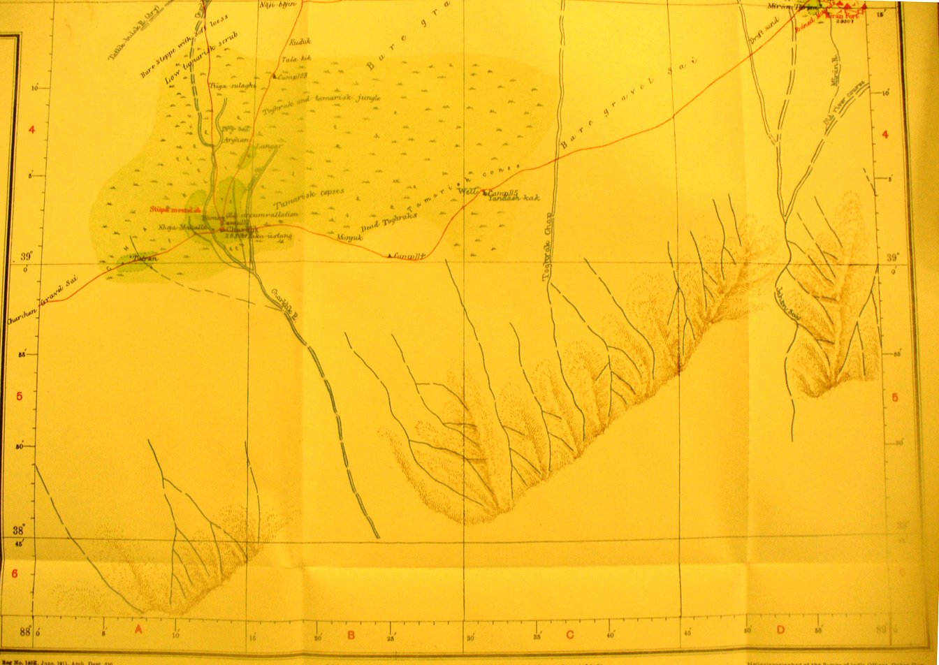
These are photos made from the original maps in Volume V of Serindia, Aurel Stein's report on his Second Expedition into Chinese Turkestan. |
||
 |
||
The southern part of map sheet # 57 Charklik - This shows the Charklik River flowing north out of the southern mountains and about to turn eastward. Charklik oasis town is in the river delta - Miran is in the north east corner with the caravan route between them. Stein had quite an adventure at Charklik during his third expedition - see Innermostasia. He found the ruined Tibetan fort just south of Miran. See maps from the third expedition. |