
|
SERINDIA MAPS - STEIN |
||
These are photos made from the original maps in Volume V of Serindia, Aurel Stein's report on his Second Expedition into Chinese Turkestan. |
||
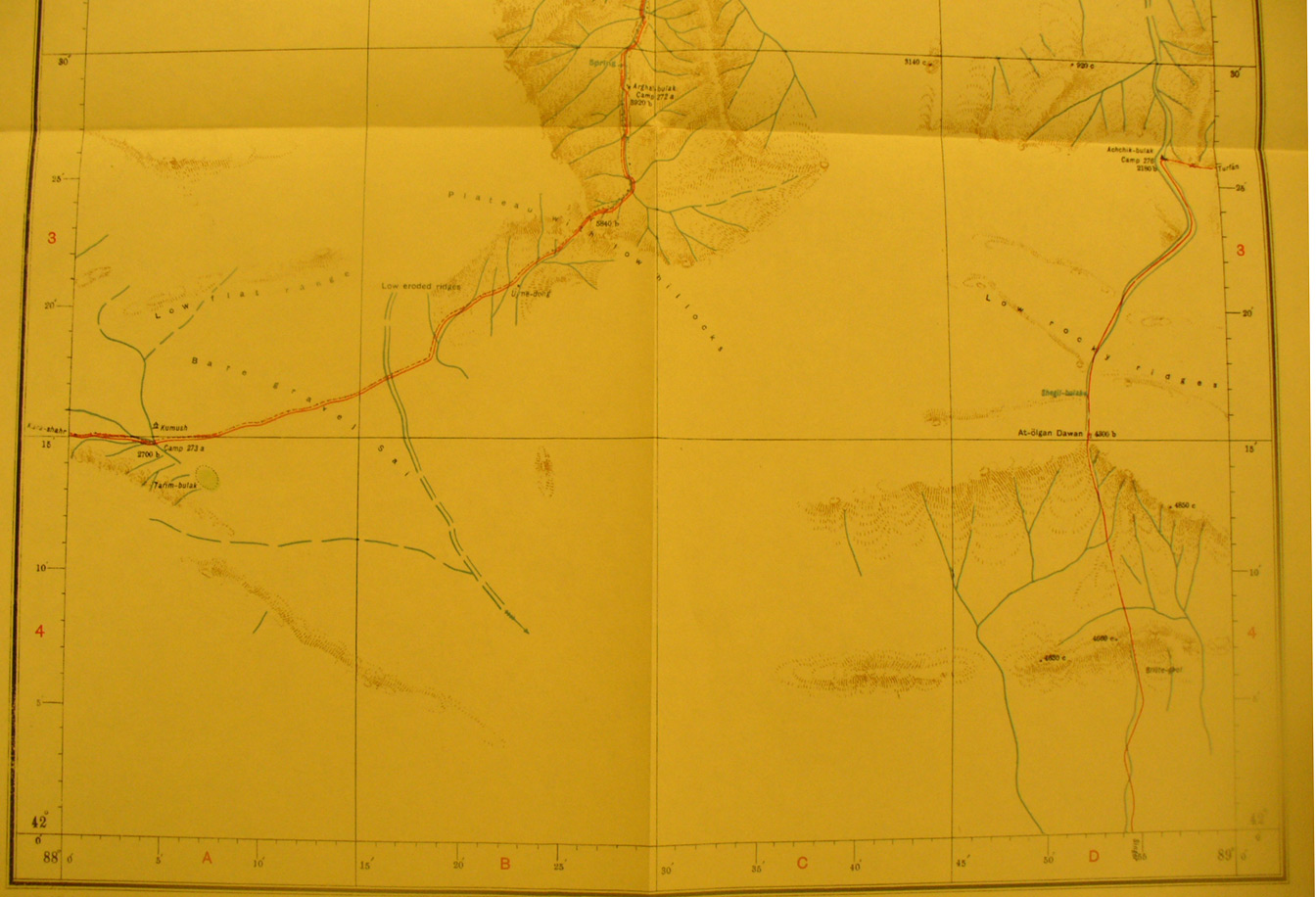 |
||
The southern section of map sheet# 54 Toksun - The road from Kara-shahr enters on the western edge. The road leading east off the map goes to Turfan and off the southern edge to Singer. This is a separate ridge between desert and the T'ien Shan - with water shed at 5,840 feet elevation. |