
|
SERINDIA MAPS - STEIN |
||
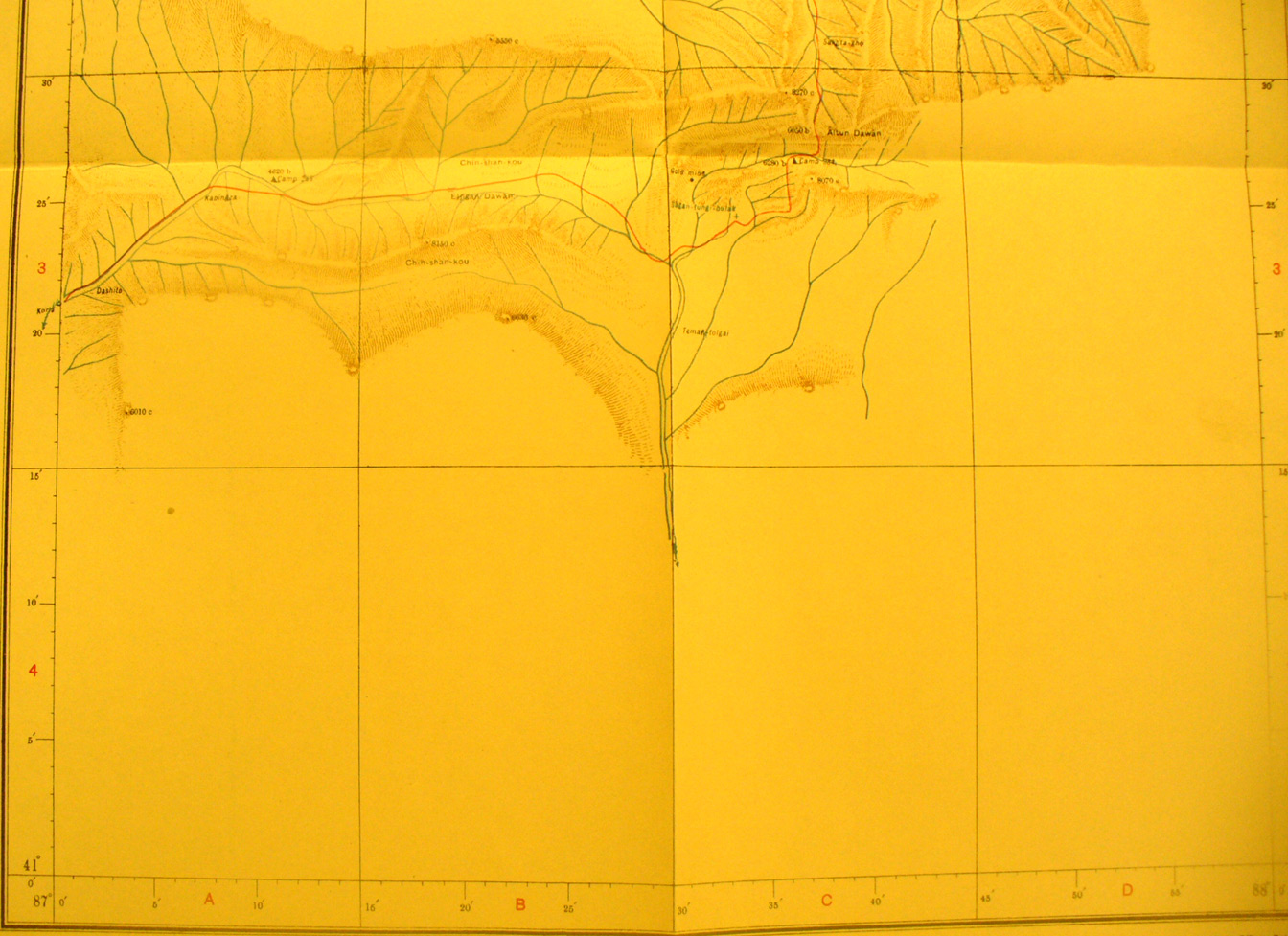
These are photos made from the original maps in Volume V of Serindia, Aurel Stein's report on his Second Expedition into Chinese Turkestan. |
||
 |
||
The southern half of map sheet # 52 Altun Dawan - The pass is at 6,050 feet elevation. This sheet is on the northern edge of the desert, which was not surveyed to the south. The road west to east is from Korla to Singer. Stein and his associate surveyors did much more work here and around Singer during their third exploration. |