
n
|
SERINDIA MAPS - STEIN |
||
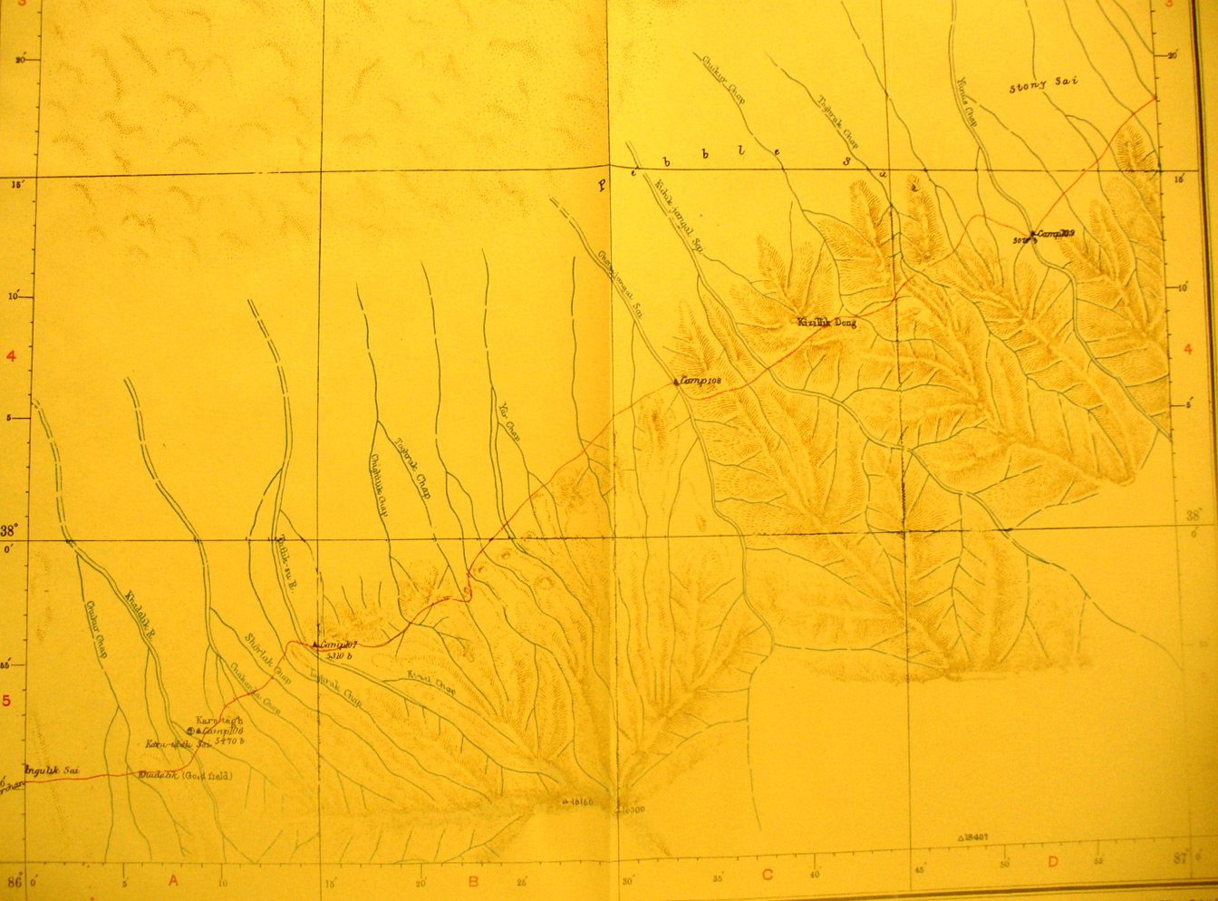
These are photos made from the original maps in Volume V of Serindia, Aurel Stein's report on his Second Expedition into Chinese Turkestan. |
||
 |
||
The southern part of map sheet # 50 Charchan River. The southern foothills and streams flowing from them north to the desert. The southern route east from Charchan toward Tun Huang crosses these at elevations over 5,000 feet. |