
|
SERINDIA MAPS - STEIN |
||
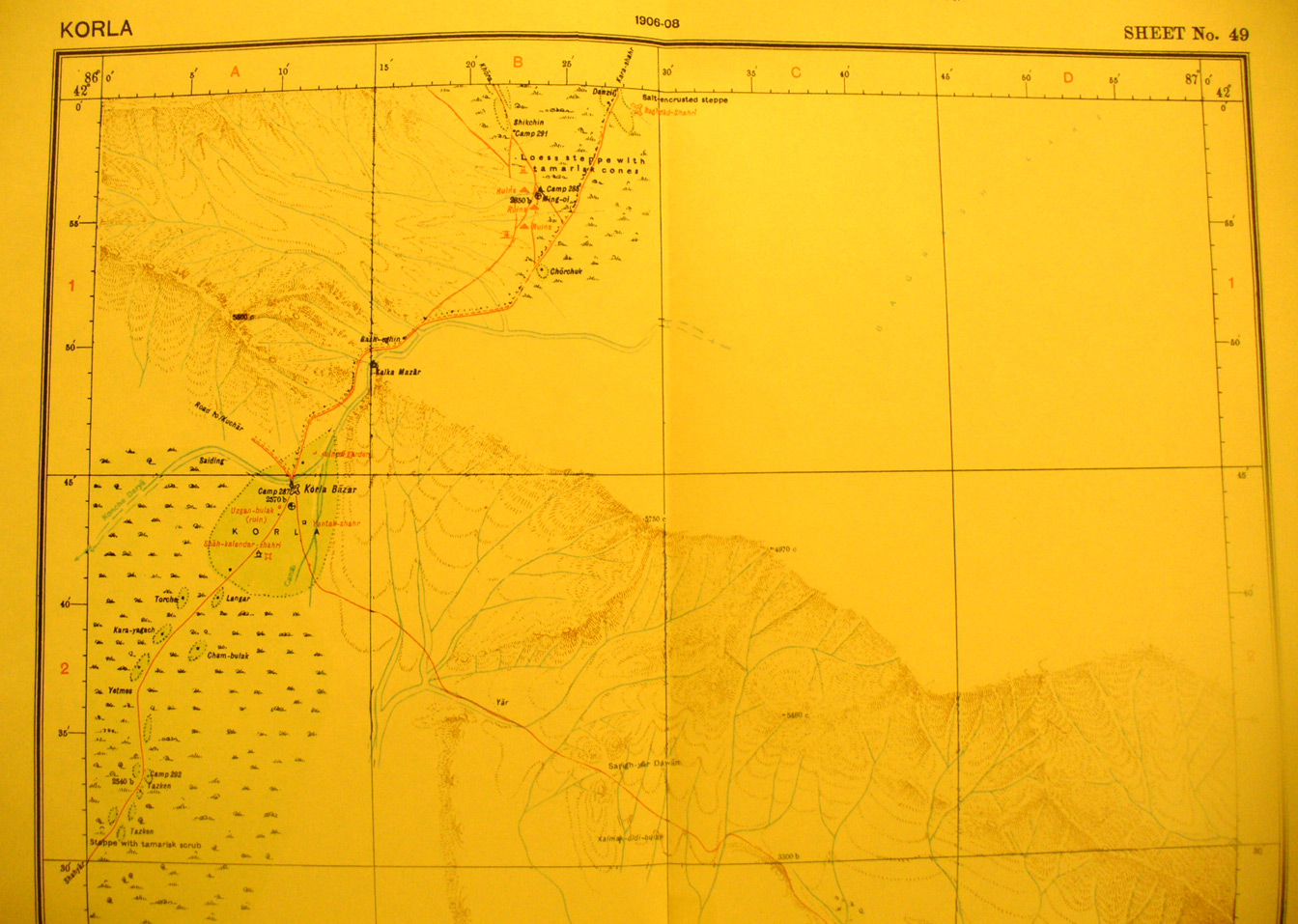
These are photos made from the original maps in Volume V of Serindia, Aurel Stein's report on his Second Expedition into Chinese Turkestan. |
||
 |
||
The northern part of map sheet # 49 Korla - The town is in the oasis on the Konche Darya (here flowing SW) on the western side. Ming-oi, (86 degrees 28' E - 41 degrees 55' N) where Stein found many ruins, a whole settlement, is near the northern border on the road to Kara-Shahr. The road off the SE side is to Turfan. |