
|
SERINDIA MAPS - STEIN |
||
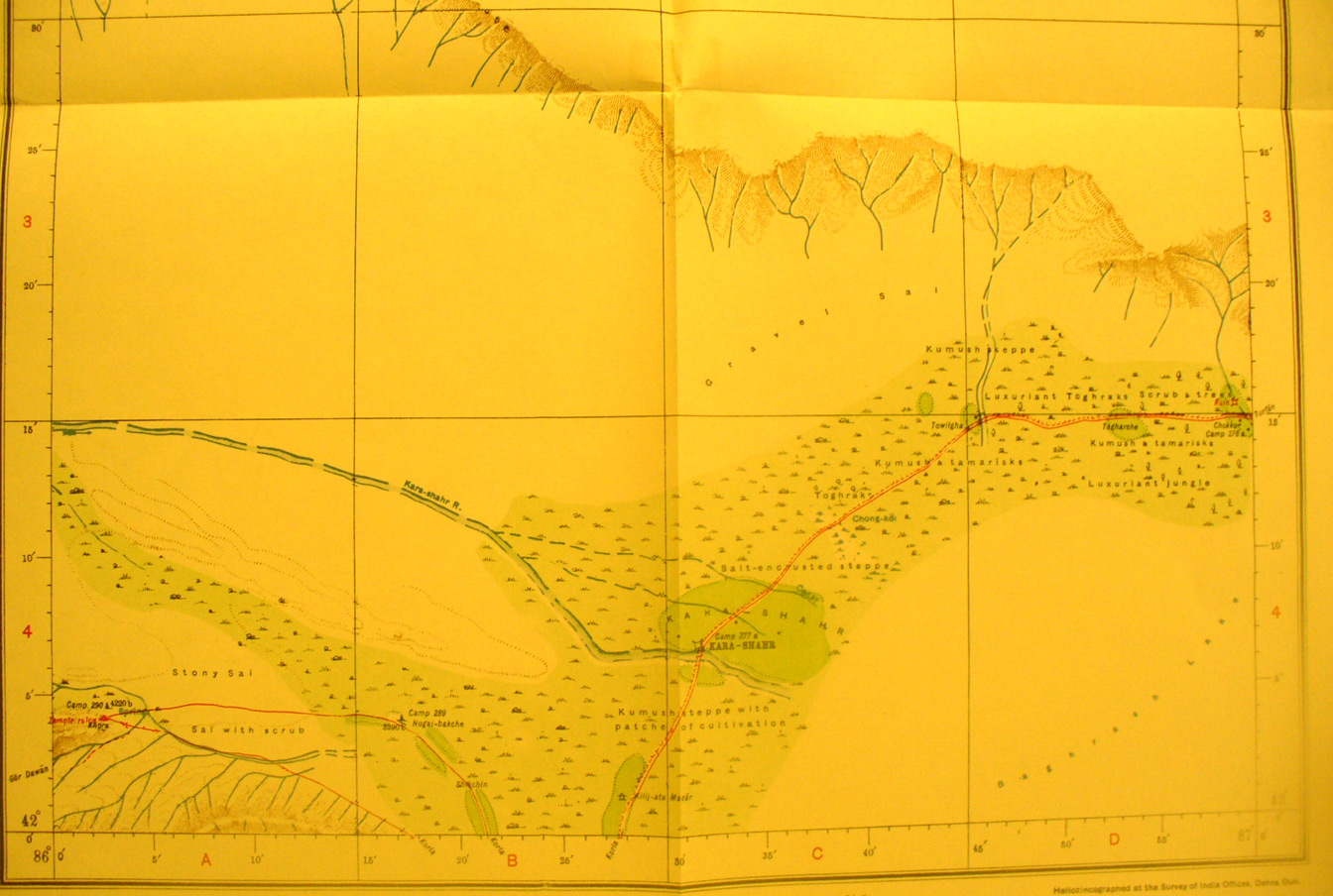
These are photos made from the original maps in Volume V of Serindia, Aurel Stein's report on his Second Expedition into Chinese Turkestan. |
||
 |
||
The southern part of map sheet# 48 Kara-Shahr - The northern half of this map is un-surveyed blank area. This shows the Kara-shahr Darya flowing SE and the walled town at an oasis on the river. There is one ruin found at the eastern edge of the map. The roads south lead to Korla. |