
|
SERINDIA MAPS - STEIN |
||
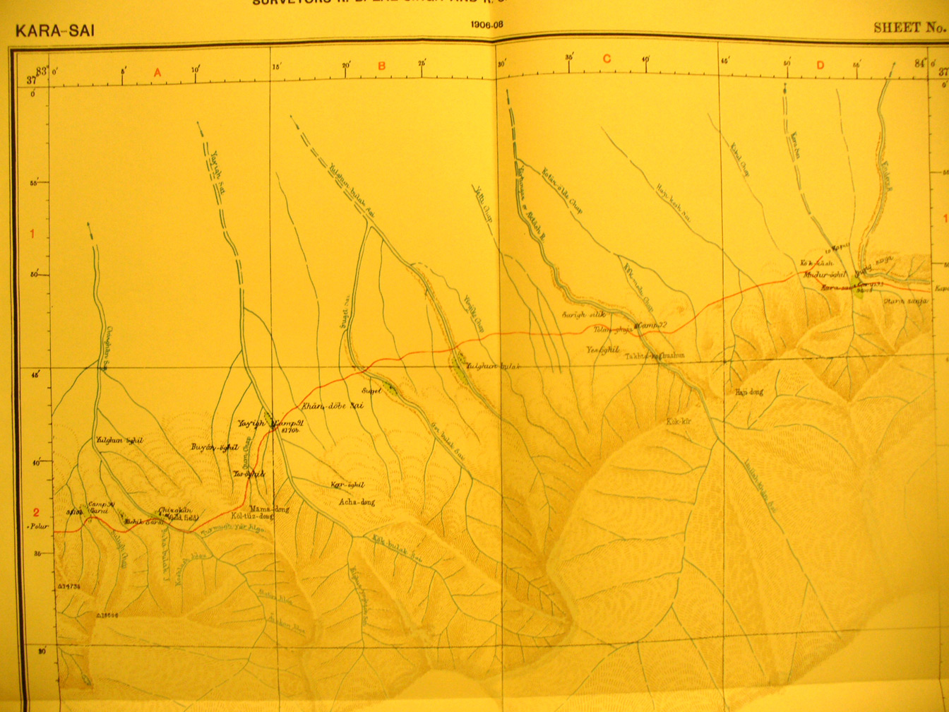
These are photos made from the original maps in Volume V of Serindia, Aurel Stein's report on his Second Expedition into Chinese Turkestan. |
||
 |
||
The northern section of map sheet # 41 Kara Sai - the rest is unsurveyed blank being south of the mountain chain. The many streams from the mountains flow north into the desert . This shows Stein's route eastward across the streams and spurs from Polur. |