
|
SERINDIA MAPS - STEIN |
||
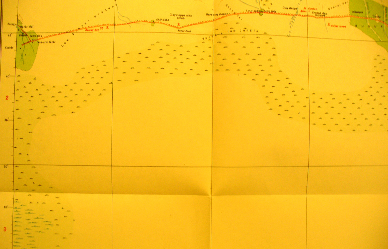
These are photos made from the original maps in Volume V of Serindia, Aurel Stein's report on his Second Expedition into Chinese Turkestan. |
||
 |
||
The central - west- east - section of map sheet # 39 - Inchike River - This is north of the river and shows the main west-east road north of the desert with remains of watch towers and small forts dating back to Han times. |