
|
SERINDIA MAPS - STEIN |
||
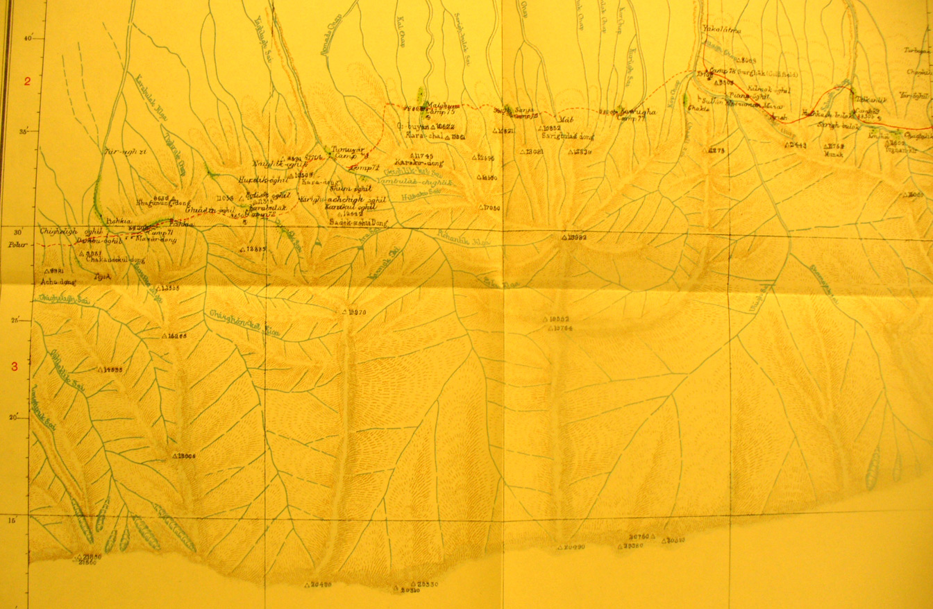
These are photos made from the original maps in Volume V of Serindia, Aurel Stein's report on his Second Expedition into Chinese Turkestan. |
||
 |
||
The central part of map sheet # 38 - Surghak - showing the 20,000 foot mountain range south of the Taklamakan and rivers flowing north. Here Stein was traveling back westward across the streams and spurs toward Pohar in his successful effort to go around the mountains south of Khotan. The southern part of the map sheet is blank - unexplored region south of the mountains. |