
|
SERINDIA MAPS - STEIN |
||
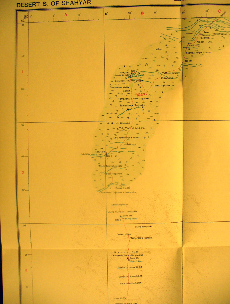
These are photos made from the original maps in Volume V of Serindia, Aurel Stein's report on his Second Expedition into Chinese Turkestan. |
||
 |
||
The north western side of map sheet # 35 - Desert south of Shahyar - This shows the northern part of Stein's route south across the desert to the Keriya River. |