
|
SERINDIA MAPS - STEIN |
||
These are photos made from the original maps in Volume V of Serindia, Aurel Stein's report on his Second Expedition into Chinese Turkestan. |
||
 |
||
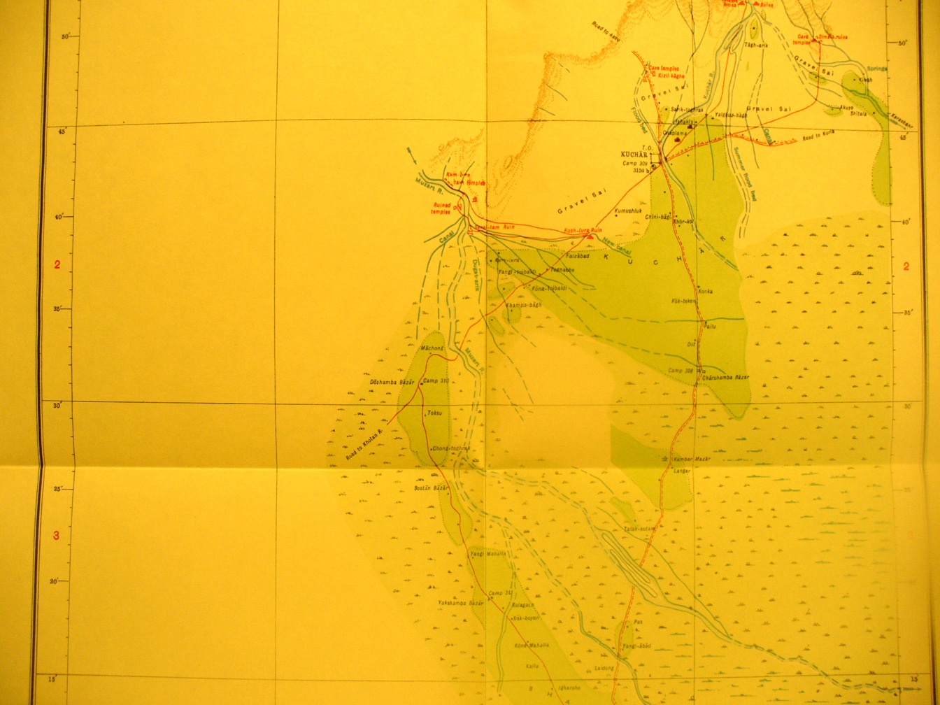
The central section of map sheet # 34 - Kuchar - The walled town, Kuchar, is in the eastern section in an oasis formed by the remanents of rivers flowing south from the T'ien Shan. It is on the west-east routes between Kashgar and Korla. |