| |
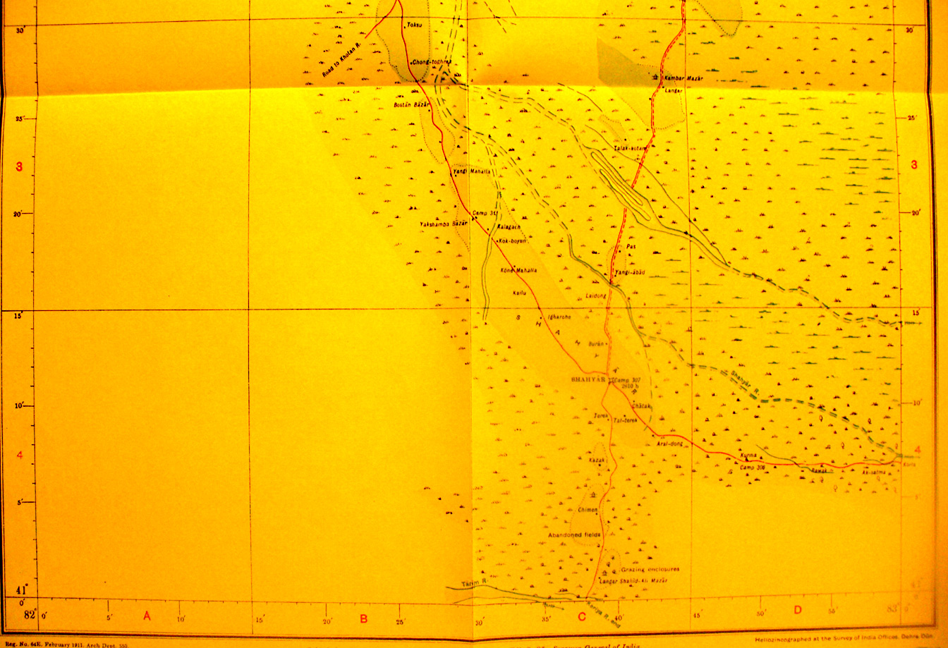
The southern part of map sheet # 34 - Kuchar - We jump back to the
northern side of the desert. Shahyar fort is at 82 degrees 37' E - 41 degrees
11' N - this section shows the road north from Shahyar toward Kuchar. Shahyar
was the last inhabited place at which Stein could assemble resources and
prepare for his dangerous effort to enter the desert in search of the dry basin
of the Keriya River. The end of the Shahyar River into the desert is east of
the fort. A short piece of the Tarim River appears at the southern map edge.
|
|