
|
SERINDIA MAPS - STEIN |
||
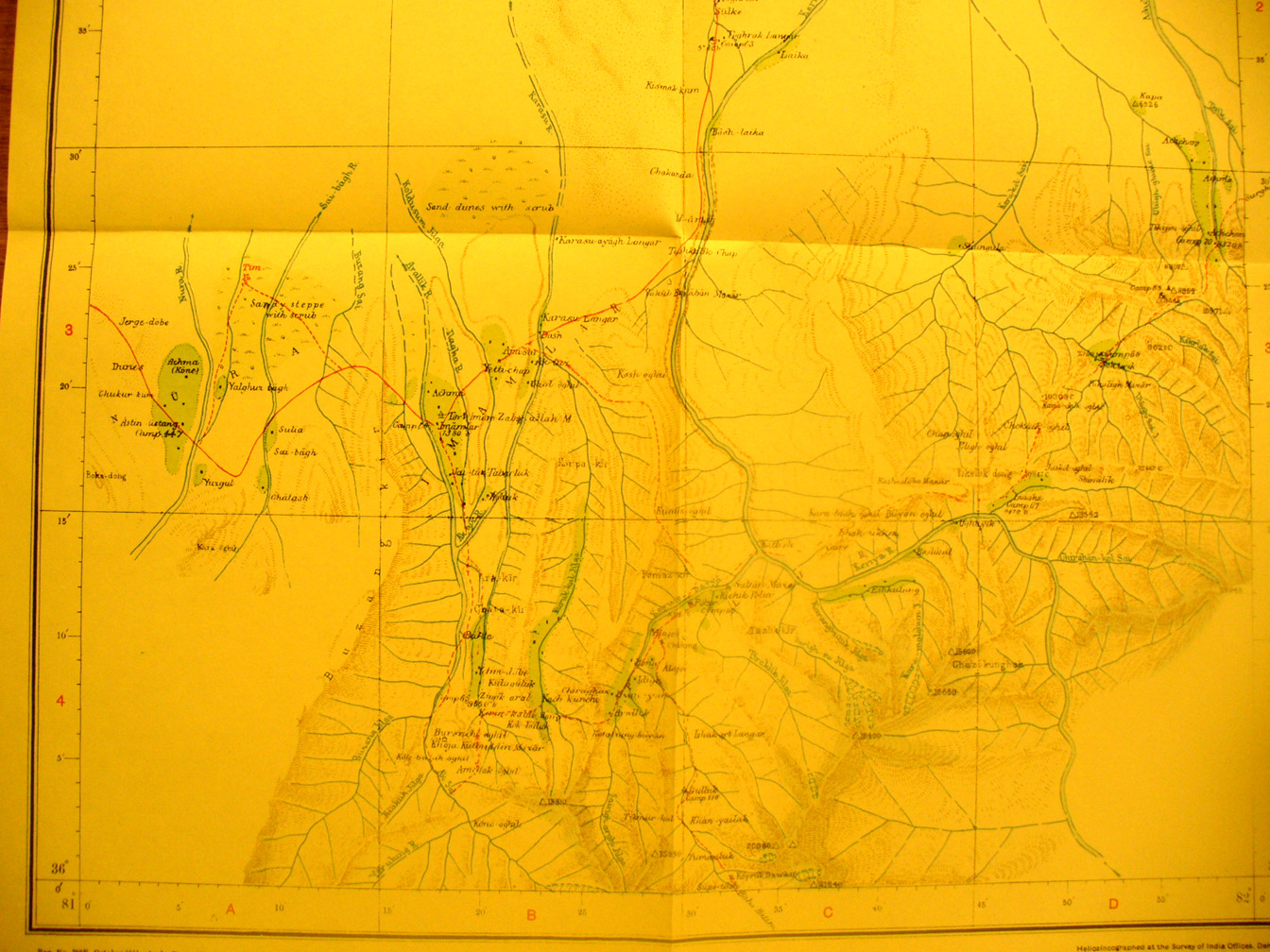
These are photos made from the original maps in Volume V of Serindia, Aurel Stein's report on his Second Expedition into Chinese Turkestan. |
||
 |
||
This is the southern half of map sheet # 32 - Keriya. It shows the upper Leriya River and others flowing north from the mountains that form the southern edge of the Taklamakan -But Stein went much further south to find the sources of the Keriya. The road east from Khotgan at Domoko is in the far north west corner. |