
|
SERINDIA MAPS - STEIN |
||
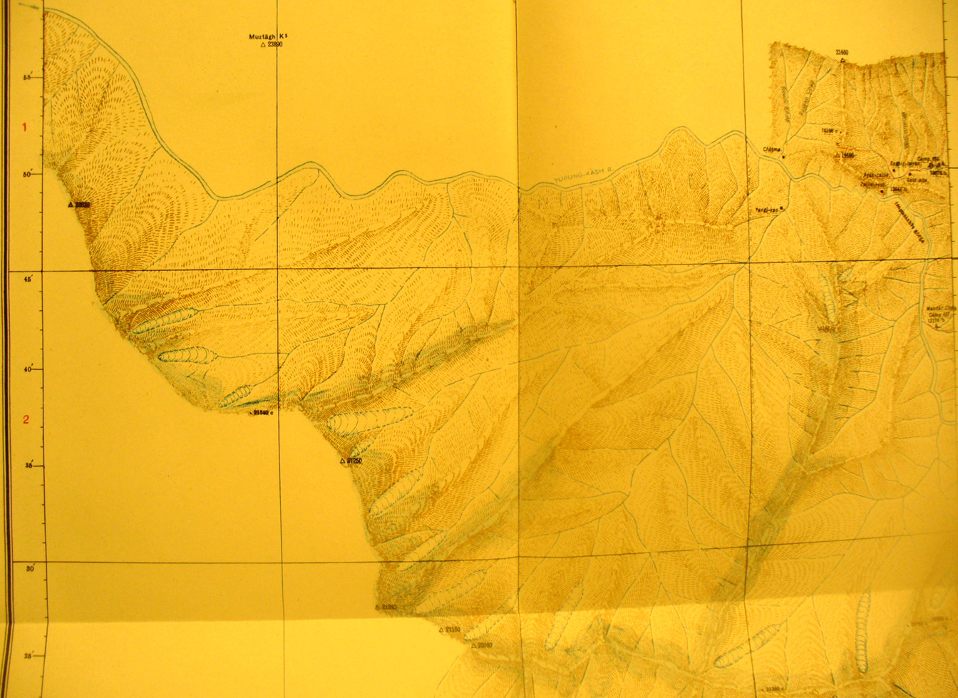
These are photos made from the original maps in Volume V of Serindia, Aurel Stein's report on his Second Expedition into Chinese Turkestan. |
||
 |
||
Detail of map sheet # 29 - Zailik - shows the Yurung Kash River flowing west, north of the water shed range. The peaks are over 21,000 feet elevation |