
|
SERINDIA MAPS - STEIN |
||
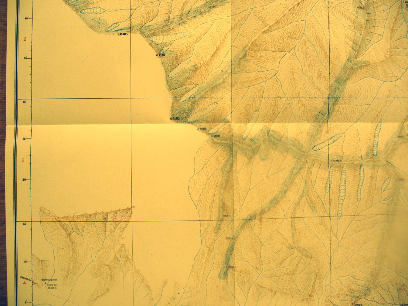
These are photos made from the original maps in Volume V of Serindia, Aurel Stein's report on his Second Expedition into Chinese Turkestan. |
||
 |
||
A detailed view of a part of map sheet # 29 - Zailik - just north of the above view showing some of the ridges and valleys with streams flowing from glaciers. Some ridges form the watershed between streams flowing north eventually into the desert and streams flowing south into an inland basin. |