| |
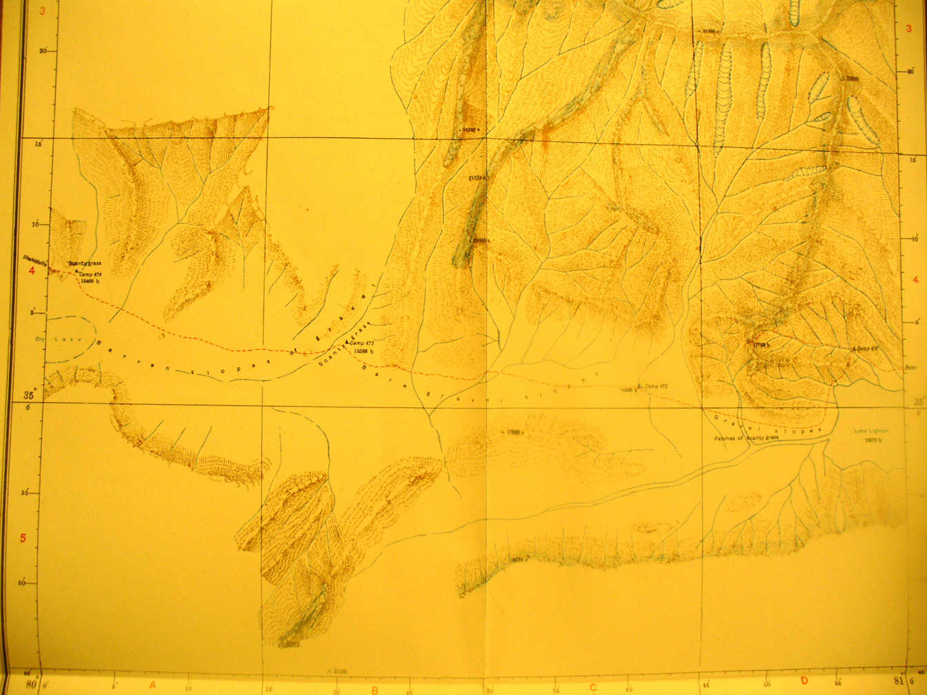
A detailed view of a section of map sheet # 29 - Zailik - This shows
the most southern section of Stein's route from east to west through an
interior basin between high ranges south of the Taklamahan. He was determined
to find the head waters of the Yurlung Kash after he was blocked by impassible
gorges when attempting to follow the river upstream directly. So he went far
east, then south, and then back west behind ( that is south of ) the first
range of mountains. Off the western edge he is moving toward Shah i dulla on
map sheet # 17 but first crossing map sheet # 22. He barely made it. Due to
lack of anything growing in this dry basin he lost most of the ponies and
donkeys. At the western edge is a piece of a dry lake.
|
|