
|
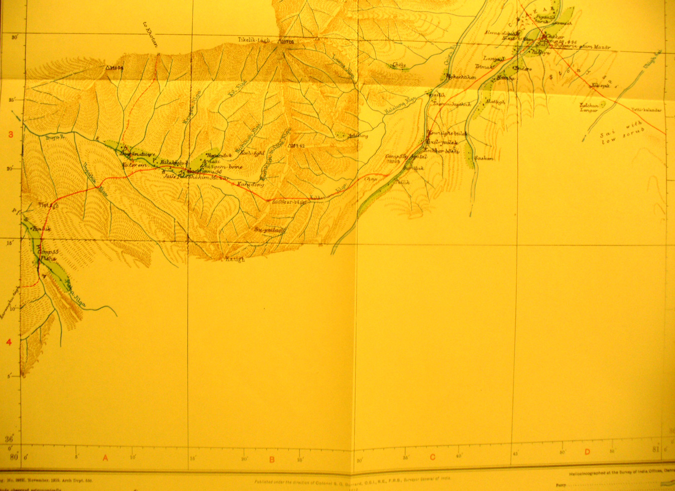
SERINDIA MAPS - STEIN |
||
These are photos made from the original maps in Volume V of Serindia, Aurel Stein's report on his Second Expedition into Chinese Turkestan. |
||
 |
||
The southern half of map sheet # 28 - Chakar - just south of Sampula - Only the areas adjacent to Stein's route have been surveyed. The Chakar area is in the north east corner of this photo. It shows the mountain range and rivers west to north east over which Stein traveled. The Chira River flows NE. His routeis from Karanghu Tagh |