
|
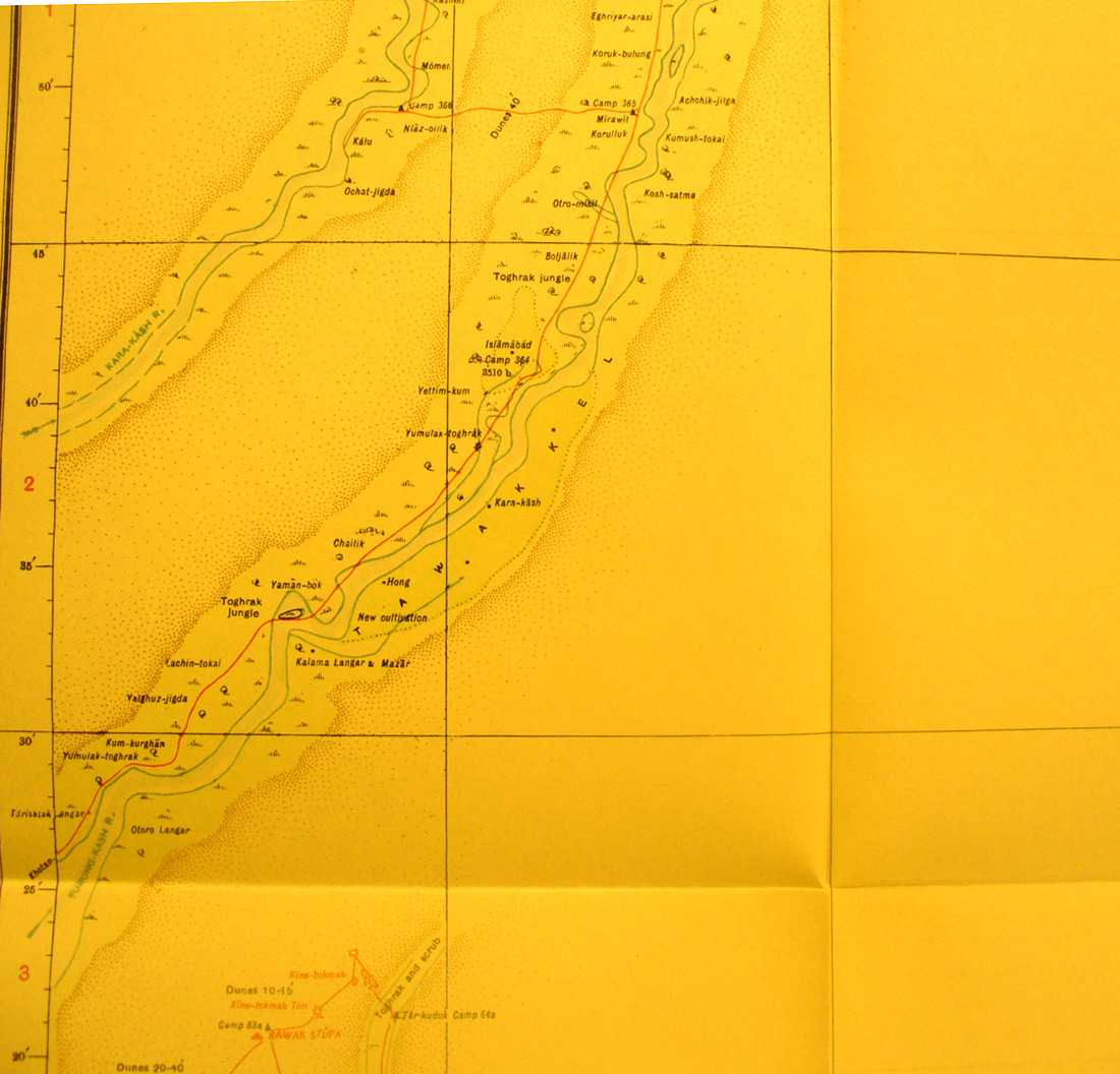
SERINDIA MAPS - STEIN |
||
These are photos made from the original maps in Volume V of Serindia, Aurel Stein's report on his Second Expedition into Chinese Turkestan. |
||
 |
||
Detail of the northern part of map sheet # 27 Sampala - It shows the RAWAK site at the southern edge and the two rivers, Yurung Kash and Kara Kash, trending north east before joining. |