
|
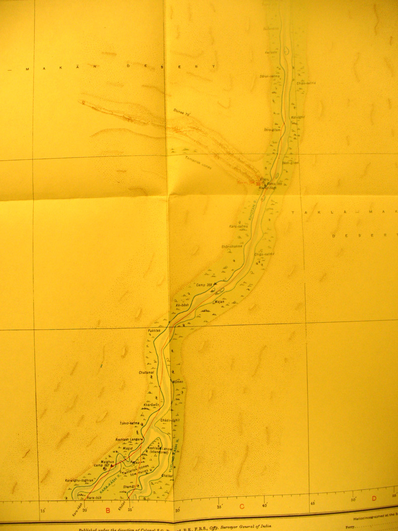
SERINDIA MAPS - STEIN |
||
These are photos made from the original maps in Volume V of Serindia, Aurel Stein's report on his Second Expedition into Chinese Turkestan. |
||
 |
||
Detail of map sheet # 25 - Mazar Tagh - This shows the length of the Khotan River and the location of Mazar Tagh fortress on the west bank. |