
|
SERINDIA MAPS - STEIN |
||
These are photos made from the original maps in Volume V of Serindia, Aurel Stein's report on his Second Expedition into Chinese Turkestan. |
||
 |
||
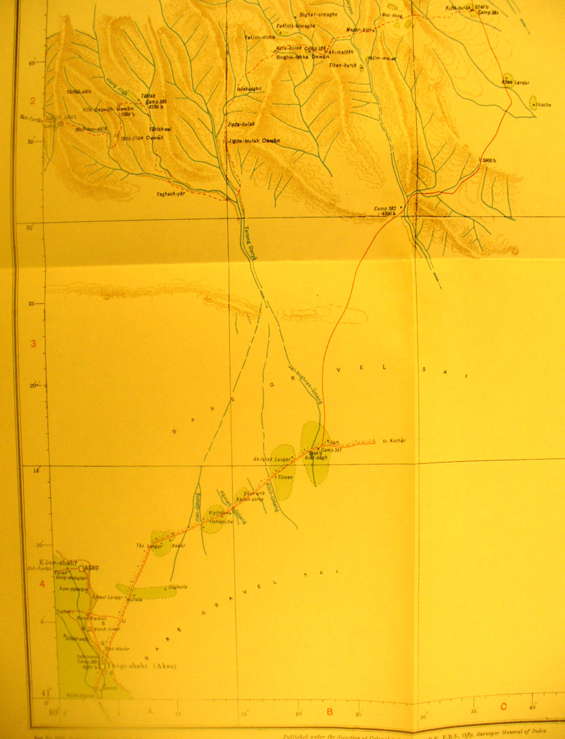
The western half of map sheet # 23 - Aksu - Here we jump back to the northern edge of Stein's exploration. Aksu is the important town in the oasis at extreme southwest corner. (Yangi-shahr) - old Aksu ruin is just south. The eastern area was not surveyed until Stein's third exploration. This section shows Stein's foray north into the T'ien shan to see some ruins. The Terang Darya flows south out of these hills., |