
|
SERINDIA MAPS - STEIN |
||
These are photos made from the original maps in Volume V of Serindia, Aurel Stein's report on his Second Expedition into Chinese Turkestan. |
||
 |
||
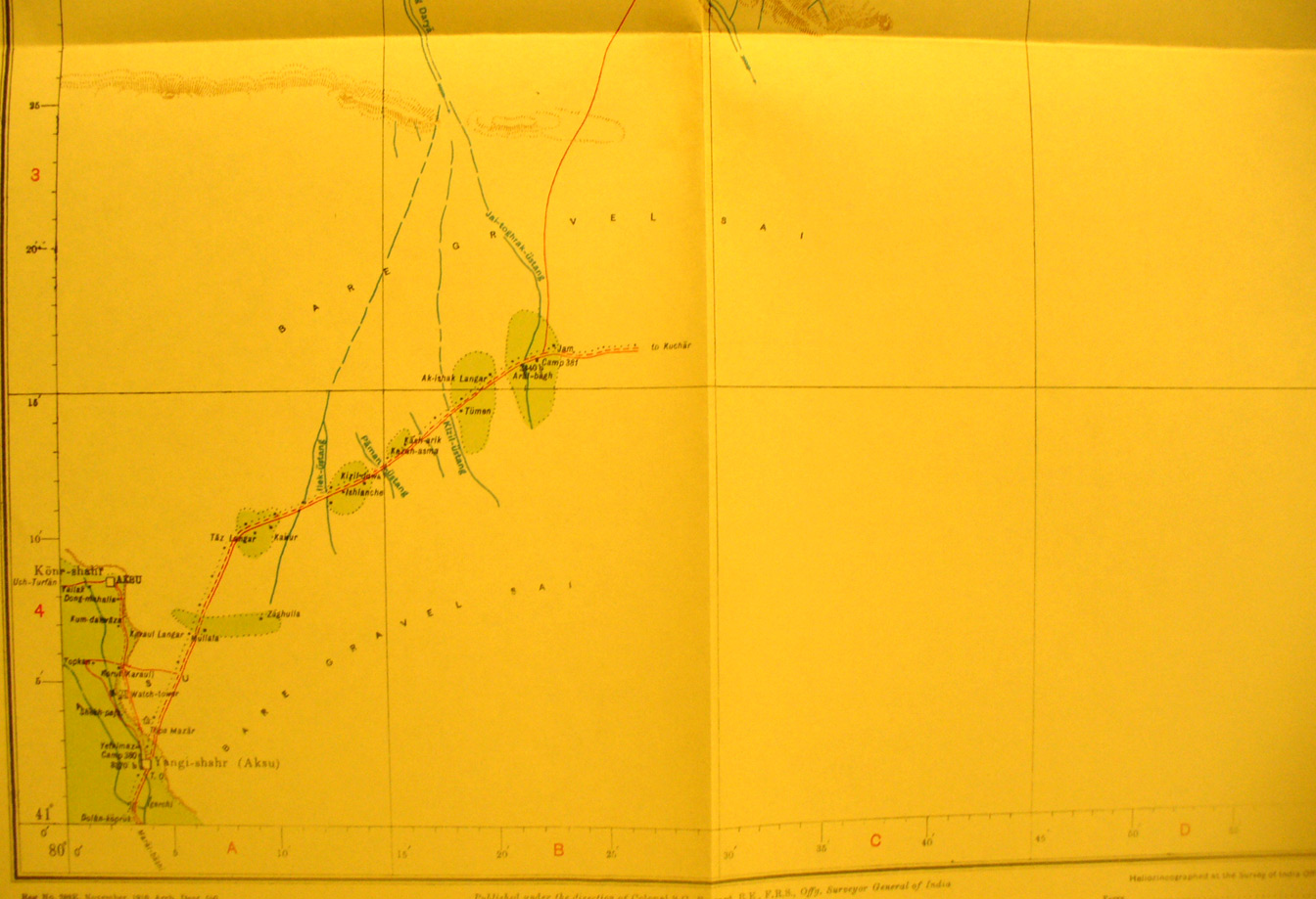
The southern half of map sheet # 23 - Aksu - Here we jump back to the northern edge of Stein's exploration. Aksu is the important town in the oasis at extreme southwest corner. (Yangi-shahr) - old Aksu ruin is just south. The eastern area was not surveyed until Stein's third exploration. |