
|
SERINDIA MAPS - STEIN |
||
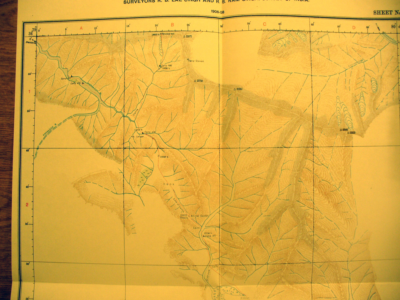
These are photos made from the original maps in Volume V of Serindia, Aurel Stein's report on his Second Expedition into Chinese Turkestan. |
||
 |
||
The northern half of map sheet # 22 - Khitai Dawan - Stein's effort to reach the rivers' sources and watershead range continued south and east through inland salt basins and streams flowing into these. The Kara Kash River flows north west. The Khitai Pass is at 16,505 feet elevation (at B2). Stein 's route here is back from SE to NW. |