
|
SERINDIA MAPS - STEIN |
||
These are photos made from the original maps in Volume V of Serindia, Aurel Stein's report on his Second Expedition into Chinese Turkestan. |
||
 |
||
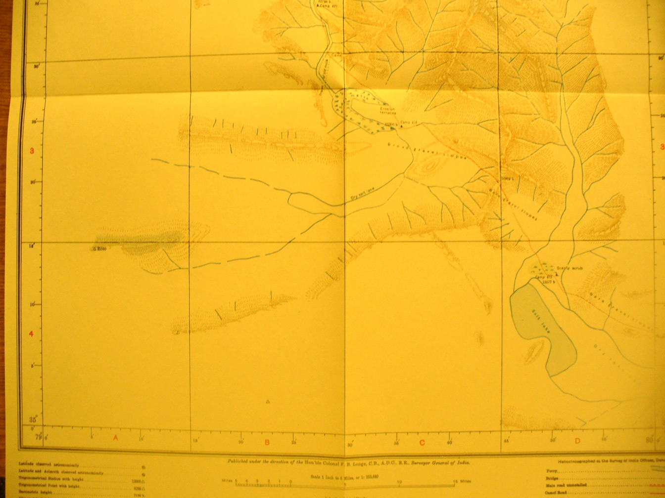
The southern half of map sheet # 22 - Khitai Dawan - Stein's effort to reach the rivers' sources and watershead range continued south and east through inland salt basins and streams flowing into these. Note the lake in the south east corner - its eastern edge in in map sheet # 29. The Kara Kash River flows north west. The Khitai Pass is at 16,505 feet elevation. Stein 's route here is back from SE to NW. |