
|
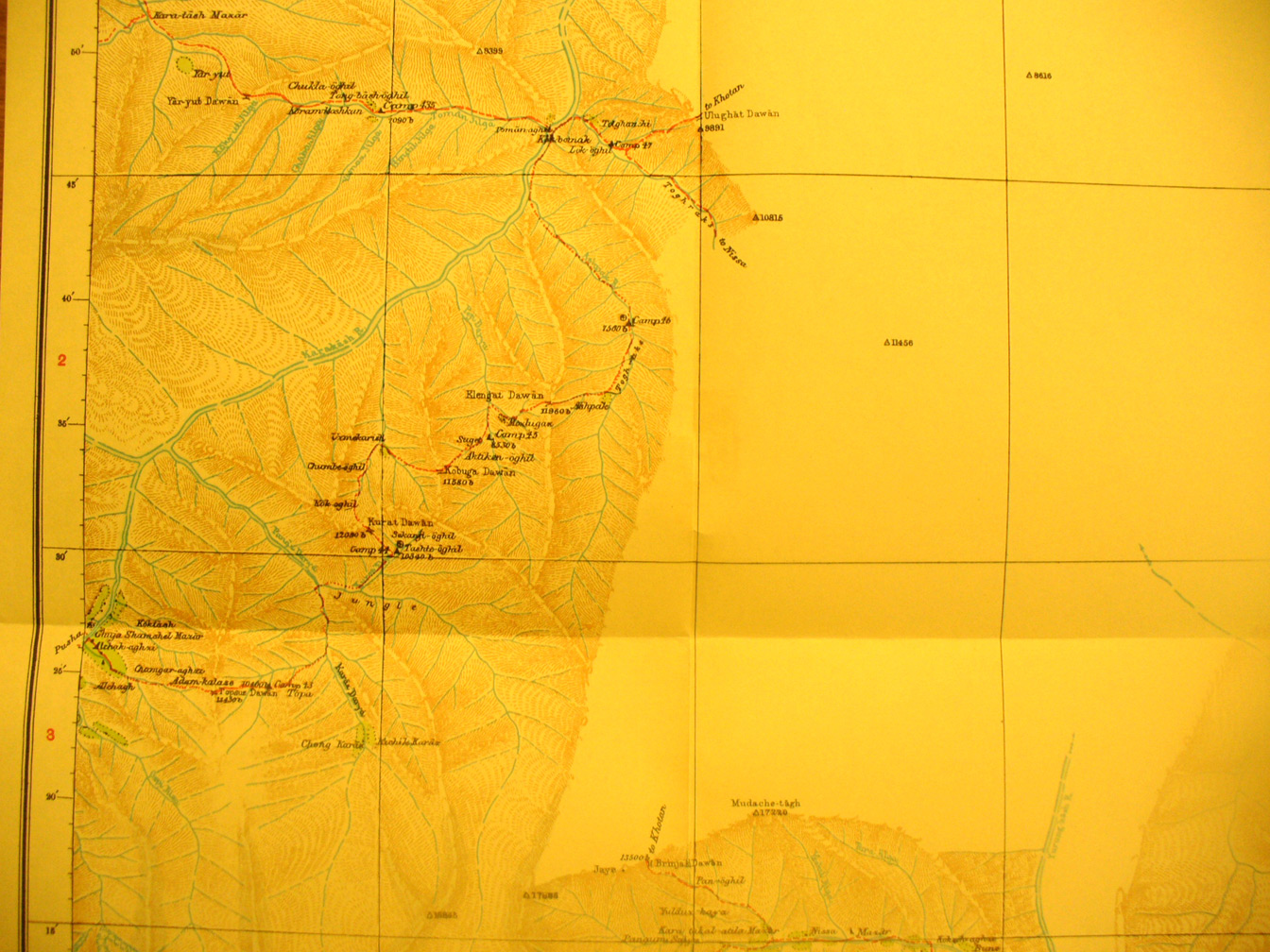
SERINDIA MAPS - STEIN |
||
These are photos made from the original maps in Volume V of Serindia, Aurel Stein's report on his Second Expedition into Chinese Turkestan. |
||
 |
||
Detail of the south western part of map sheet # 21 - Nissa - south of Khotan.The Yurung Kash River flows from the Southern edge into the desert. The Kara Kash River is in the mountains along the western map edge over 11,000 feet. |