| |
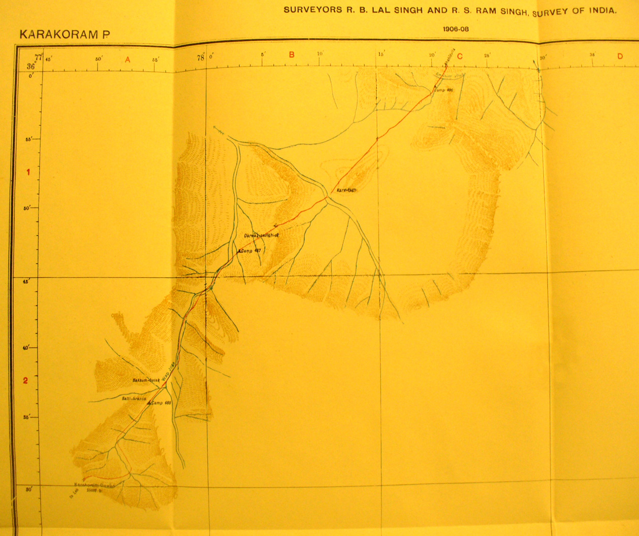
Map sheet # 18 - Karakorum Pass - This shows only the terrain
immediately adjacent to Stein's hurried route south across the pass while
returning from his second expedition. The other areas are well mapped by the
Topographic Survey of India. The caravan route leads south from Shah - i dulla
on the Karakasch River in map sheet # 17 and then across several ridges and
along several high river valleys.This is the route by which he sent large
carvans loaded with his findings from both his second and third expeditions.
|
|